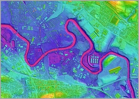
Flood risk and damage are expected to increase in the Western US due to climate change. One way resilient communities have responded to this issue is through the use of lidar, a 3-dimensional model of the earth’s surface, which allows communities to more accurately assess flood risk, identify vulnerabilities in a system, and design solutions to prevent flood damage. Our project aims to help Idaho also become a resilient community through our work with municipalities to understand flood risk preparedness, planning, and adoption of lidar. This project has three main components: assess the current uptake of lidar for extreme events planning among the municipalities, identify factors that promote and constrain the use of lidar by municipal officials in FEMA Region X through surveys, and overall increase the uptake of lidar for flood risk preparedness, planning, and adaptation in selected case study municipalities through interviews and workshops.
Investigators
- Vicken Hillis, Assistant Professor, College of Innovation & Design
- Tara Pozzi