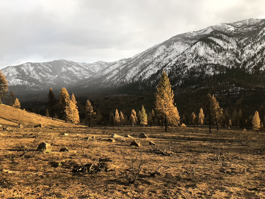
In 2024 alone–as of Nov. 22, 2024–the National Interagency Fire Center tallied 51,320 fires burned in the U.S. These fires burned more than 8.1 million acres.
While it may feel as though wildfires are an increasingly common part of life, what is incredible is that each of these fires was unique. Where they burned, how long, how hot, what fuels they devoured, what communities they impacted, and how those communities, lands and ecosystems respond are completely different stories.
The truth is, wildfires are shaping modern life in ways not yet realized and, in many cases, there is no existing research or guidebook to tell how a burn site–and all that call it home–will be changed.
Fortunately, one thing never changes: the drive to conduct research, engage in field and lab work, and fill the gaps in current knowledge to prepare the state of Idaho–and beyond–for the certainty of wildfire.
In this series of three articles, experts from Boise State provide perspectives on what impacts wildfires have on three distinct ecosystems of Idaho (urban, rangeland and mountain), and what questions they are burning to answer in their current research. Come back to the Boise State news page in the coming weeks to read the next installments.
Wildfires in Mountain Ranges
Hotter, Higher, Longer
One of Idaho’s most enduring beauties are its mountain ranges. Their inspiring heights, snowpack, timbered forests, plentiful wildlife and crystalline streams are a beacon for the adventuring spirit. However, these intensely beautiful geological wonders have a unique relationship with wildfire that is quickly evolving due to climate change.
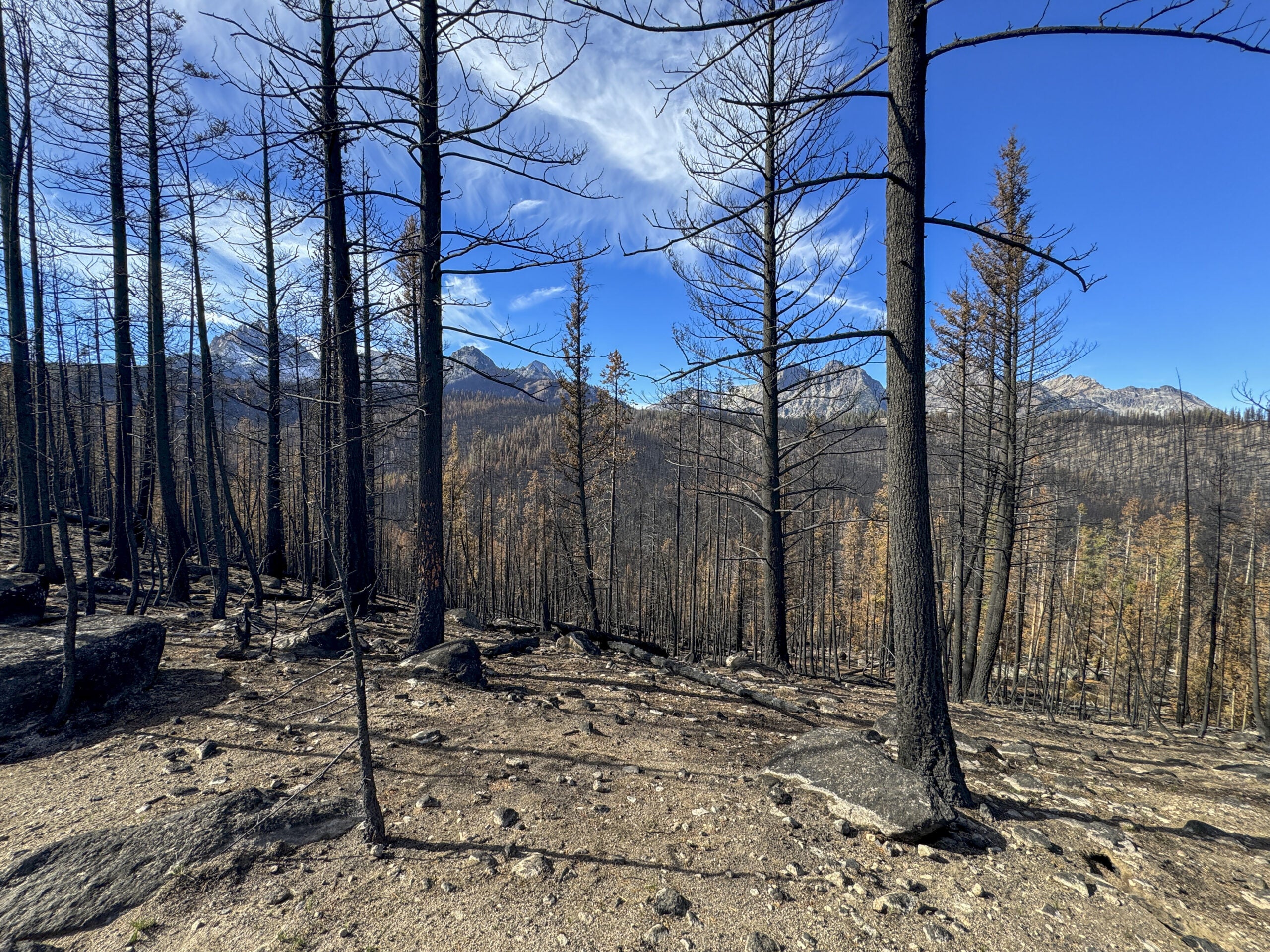
For example, nighttime used to be considered an advantageous for firefighters to gain control of a wildfire due to lower temperatures and higher relative humidity. However, in a study published in Nature, conducted by Boise State assistant professor Megan Cattau and colleagues at the Cooperative Institute for Research in Environmental Sciences University of Denver Colorado, proved that nights are growing hotter and drier, and that nighttime fires are growing more intense than previously recorded.
These conditions are literal fuel for the fire in topographical areas where they did not burn before. In an article coauthored by Boise State civil engineering faculty Mojtaba Sadegh, Sadegh and his fellow researchers analyzed records of all fires larger than 1,000 acres in the mountainous regions of the contiguous Western U.S. between 1984 and 2017. In doing so, they discovered that the area burning above 8,200 feet more than tripled in 2001-2017 compared with 1984-2000.
Kendra Fallon has witnessed this shift personally. Fallon is a nontraditional Boise State geoscience doctoral candidate with 15 years experience in fire management across the western U.S., especially in California.

In August 2021, the Dixie Fire in California broke a record: it started on the west side of the Sierra Nevada Mountains, passed up and over the Sierra Crest, and burned down the east side. Fallon and her colleagues were stunned.
“Historically in these high elevation areas, fires didn’t go end zone to end zone. And the Dixie Fire didn’t creep over; it freight-trained over,” Fallon said.
She remembers her team thinking “typically, hopefully optimistic” that this was a “one-off” event, unlikely to be repeated.
Less than a month later, the Caldor Fire would break the same record.
That’s part of the reason why, in addition to being a full time fire ecologist, Fallon decided she needed to get her doctorate so that she could merge the two worlds of fire management with the studies of academic researchers and advance wildfire science for a swiftly changing fire regime.
Steep, Remote, Timbered
A mountain range’s physical characteristics also shape how fires burn, how firefighters are able to respond, how communities are impacted and what happens after the fires die.
For residents of Grandjean, these topics are all top of mind.

Late on the evening of July 24, 2024, a crack of lightning lit a fire in the Sawtooth Mountains two miles southwest of Grandjean and 14 miles southwest of Stanley. This started the Wapiti Fire.
With unfavorable weather conditions, steep terrain and limited infrastructure that made access difficult for firefighters, and plentiful fuel, this fire burned from July into November of 2024, consuming nearly 130,000 acres. The Wapiti Fire burned through forests which used to be too wet to burn. Year after year of record-breaking heat is fueling fires high in the alpine.
Boise State geoscience faculty Jen Pierce did her dissertation research in this same area, reconstructing records of fire that span back 8,000 years. This research shows the last time these forests burned with anything approaching this severity was about 1,000 years ago, during a warm, dry interval in the past.
Watch: Checking out Grandjean after the Wapiti Fire scorched this landscape
Brad Heinrichs and Jesse Buhler, stewards of the Sawtooth Lodge in Grandjean, said this fire could not have come at a worse time. Sawtooth Lodge is a historic and recreational lodge that was established in 1927 with an origin story dating back to Emile Grandjean, an early Boise Forest supervisor who built a cabin on the land in 1883.

At the height of the recreational and tourist season, the Wapiti Fire not only curtailed their operation for the season but also destroyed infrastructure and cabins, as well as the seasonal cabins of families who called Grandjean home. Deposits for fall excursions and bookings had to be repaid. For small business owners Heinrichs, Buhler and their families, this was a significant setback.
Beyond the community of Grandjean, the fires continued to burn through the mountains, clearing underbrush and timber alike, often with extremely intense heat.
After the Fire
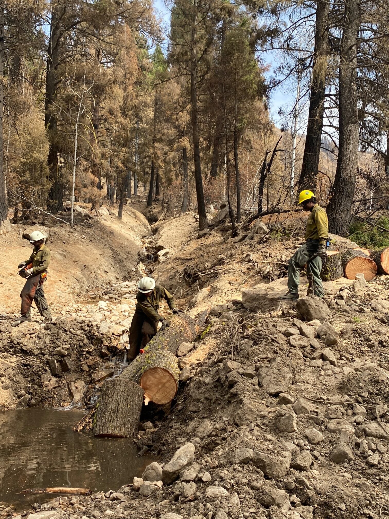
As soon as it was safe enough to access, David Huber, a Boise State affiliate faculty member from the University of Texas El Paso, and Boise State geoscience faculty Anna Bergstrom, Jake Anderson, Pierce and one undergraduate student ventured into the field to begin collecting ash and water samples.
They also placed infrasound sensors and game cameras (generously loaned by Boise State’s Raptor Research Center). These sensors and cameras will help document shifts, especially debris flows, in the landscape over the next year.
Debris flows can be extremely dangerous. Buhler recalls experiencing one at the Sawtooth Lodge following a fire season in 2018, and the harrowing experience of evacuating around 40 guests as the flow came up to the edge of the campground.
“I have never heard the forest like that. It was a three foot wall of ash, muck, entire trees, and boulders the size of minivans. One woman was so afraid that she could not move, and I had to physically pick her up and carry her to the parking lot,” Buhler said.
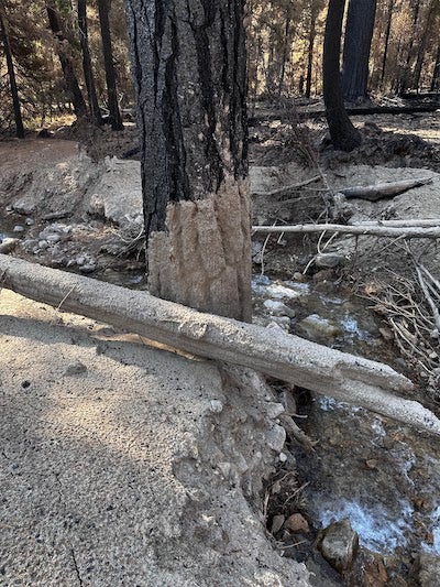
The goal of the researchers is to determine how the environment will change, what sections of the landscape are likely to trigger debris flows, and anticipate changes to the water systems in the region. This material is based upon work supported by the U.S. National Science Foundation under award No. 2502836, awarded to Bergstrom.
From a helicopter, geoscience research associate Josh Enterkine collected lidar (light detection and ranging) data to quantify any of the changes to the landscape. By collecting pre-, during, and post-fire lidar data, Enterkine said the team will be able to “calculate the amount of earth removed from the upslope areas, how much has been deposited in the downslope areas, and the difference in material would approximate what entered the South Fork of the Payette River.”
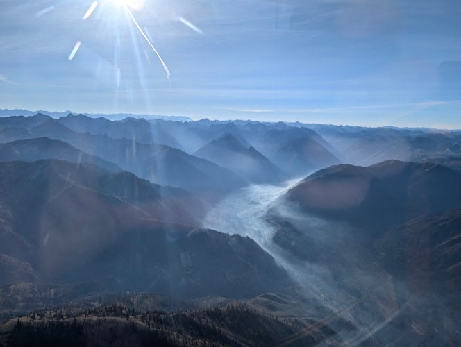
The U.S. Army Corps of Engineers Cold Regions Research and Engineering Laboratory group generously lent their helicopter-based lidar scanner and assisted in its collection. Enterkine worked with the U.S. Forest Service and Federal Aviation Administration to arrange special permission to fly in the restricted airspace over the–then–active fire perimeter, and operated the instrument during the flights to collect lidar over the areas that the research team determined.
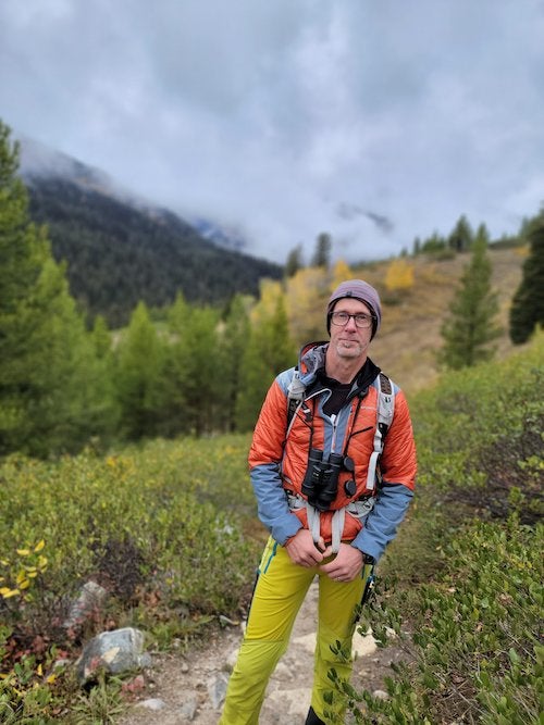
When wildfires burn, they release nutrients that were stored in plants. Nitrogen, phosphorus, carbon, mineral ash and more are suddenly sitting on top of hard, fire-baked, hydrophobic soils. When the rains and early mountain snows come, this can cause problems downstream.
“You’ve got all of these nutrients and a lot of them are ending up in the South Fork of the Payette [River],” Huber said. “All of a sudden you have a potential water quality issue, with the potential to impact those downstream ecosystems. The fish are going to be impacted, as are the aquatic insect microbial communities. These water quality issues are important to human health/drinking water, recreation, and sustaining our ecosystems; all impacted by fires.”
Algal blooms are one possible and concerning outcome, in addition to shifts in river water pH, temperature, river bottom composition and other aspects that may have a huge impact on aquatic life.
A Complicated Relationship, A Commitment to Research
The story that years of research and indigenous knowledge can tell us for certain is that while wildfires can be devastating, terrifying and dangerous as they burn, they always make way for something new.
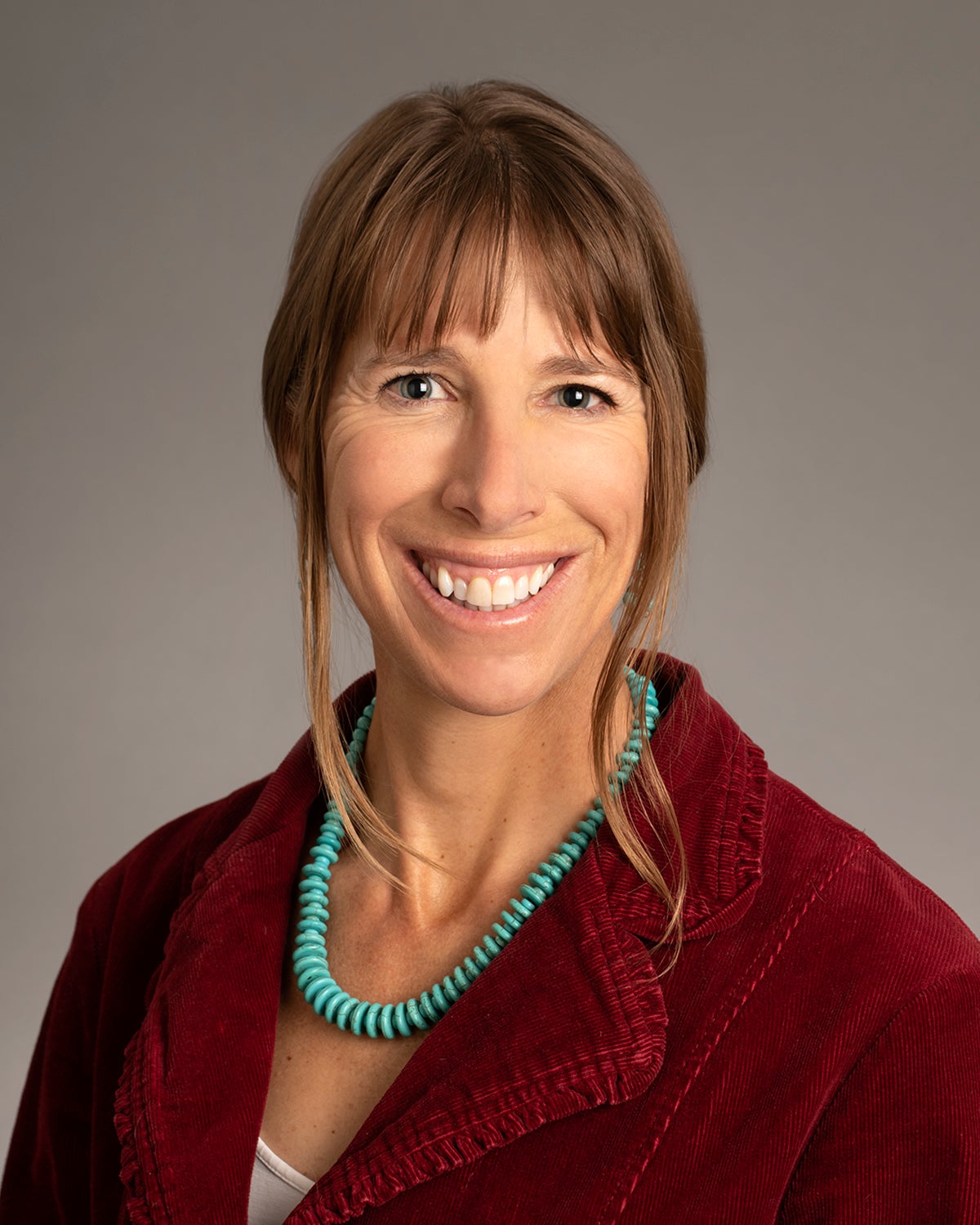
Land and plant life requires fire to make nutrients accessible, and as Fallon likes to joke, most wildfires perform a function similar to an “old-school Roomba vacuum”. They clear away brush and dead undergrowth, but their imperfect and meandering paths ensure various stages of growth that forests and lands need to be resilient and healthy.
“Fire is a natural part of our ecosystem,” Pierce said. “What we’re seeing when we’re mourning for these places that we maybe used to go recreate in… they will be changed and they’ll be beautiful in their own new way.”
However, climate change undoubtedly complicates the relationship with fire. Fortunately, more than a dozen Boise State researchers–including those who shared their expertise for this article series–face this threat and the many unknowns of wildfire with the scientific method, determination and a desire to find answers to the questions that have not yet been answered.
For Sawtooth Lodge steward Heinrichs, he is curious and hopeful about what Boise State’s Wapiti Wildfire research team will learn. In spite of the Wapiti Fire fallout, he and Buhler admitted that they are “chronic optimists.”
“We are excited to see the outcomes and how it can inform our fire management plan and how we grow the Sawtooth Lodge in intentional ways, so that my children can be stewards some day when I’m old and crotchety,” Heinrichs says with laughter.

“Any opinions, findings and conclusions or recommendations expressed in this material are those of the author(s) and do not necessarily reflect the views of the U.S. National Science Foundation.”
- Article by Brianne Phillips