Video: Snow Science at Boise State University
Video has closed captions and a transcript is provided at the end of the page.
From the single falling snowflake to the terrifying power of an avalanche, snow is something that Boise State researchers take pretty seriously. It’s no wonder when one realizes that winter snowfall is responsible for about 70 percent of Boise and Idaho’s water supply. Globally, the world depends upon snowpack and snow melt for everything from hydropower to agriculture production. Snow is an integral part of successful economies, ecology, the environment, and for Boise State, education.
“The Department of Geosciences at Boise State is one of the few places in the world with such a high concentration of snow scientists,” said geosciences Department Chair James McNamara. “In the last few years we have become a leading center of thought on snow in the environment. We have actual snow physicists who work on methods to measure and model snow, as well as snow-focused scientists in geosciences, biology, engineering, and other disciplines.”

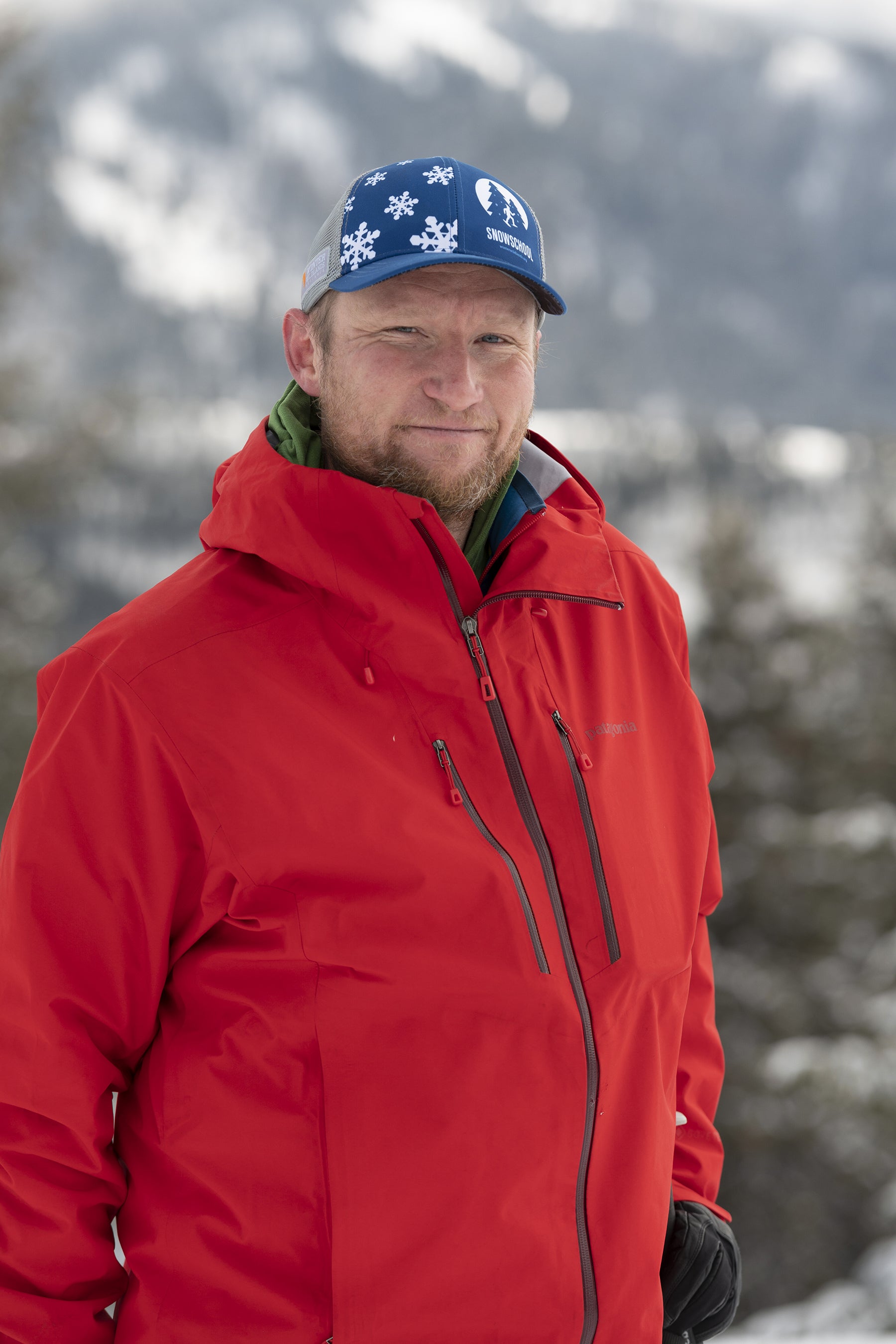
One such researcher is associate professor Hans Peter (HP) Marshall. In addition to being a full time geosciences faculty, Marshall also conducts snow research in the field all over the Western United States. Recently, he was awarded $1 million by the U.S. Army Cold Regions Research and Engineering Laboratory to advance snow monitoring using optical, microwave, acoustic and seismic techniques.
“Snow is a relatively new science. So a lot of the problems that we tackle are questions that a lot of people haven’t actually looked at before. What that means for students is that it’s much easier to make an impact than in some other fields that have been studied for hundreds and hundreds of years,” said Marshall.
With the $1 million grant, Marshall and his team are using infrasound, improving radar and optical techniques for remotely sensing how much water is stored as snow in the mountains, and measuring mechanical properties using seismic measurements to inform the Army’s vehicle mobility requirements in cold regions.

Marshall is also co-project scientist for the NASA SnowEx Mission. SnowEx is a five-year program that began at Boise State in 2017, and uses surveillance by helicopters and planes, coordinated with field work, to collect snow data such as snow depth, snow-water equivalency (how much water is in snow), snow crystal types and more. This data is collected through digging snow-pits, ground-based radar, remote sensing and light detecting and ranging (LIDAR).
“What we’re really finding is that the solution to the snow problem is going to require field measurements, remote sensing like the helicopter and the satellites that are timed to overpass our site, and combining with snow models. All three of those pieces are very critical.”

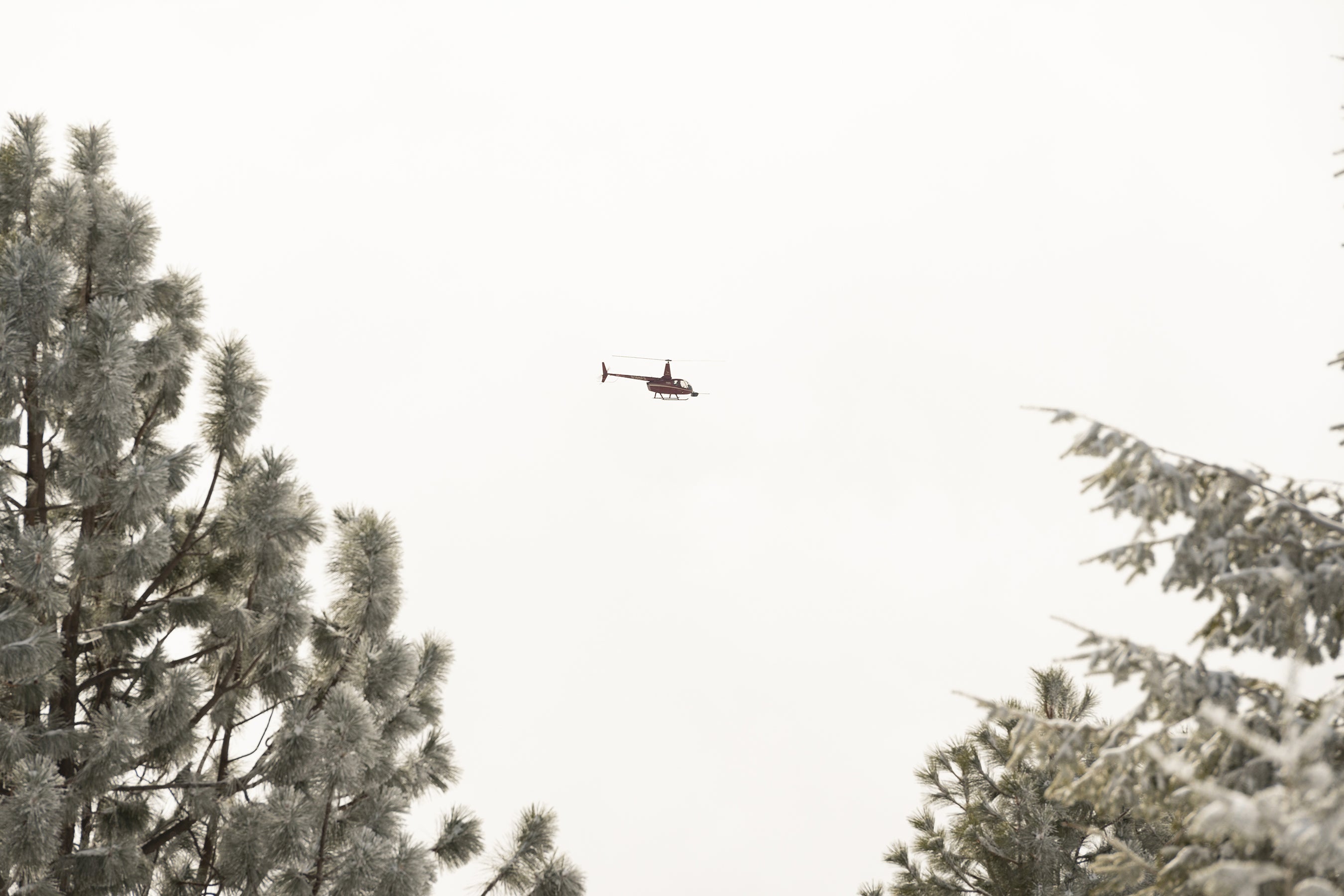
This year, Marshall and his students are also collaborating with a group of scientists from the U.S. Army Cold Regions Research and Engineering Lab, including Shad O’Neel and Eli Deeb, and with Silverhawk Aviation in Caldwell, to gain measurements of snow height using a LIDAR system on a R66 helicopter. Boise State’s proximity to Bogus Basin and snowy mountain ranges makes snow research more accessible, said Marshall, and offers students the opportunity to gain in-the-mountains field experience.
Geosciences doctoral student Maggi Kraft said that the opportunity to experience field research offers a whole new, meaningful perspective on the data because “You get to experience the different mechanisms of snow melt and snow accumulation and see it first-hand, which is very different than when you’re looking at the data inside.” Kraft hails from Park City, Utah.
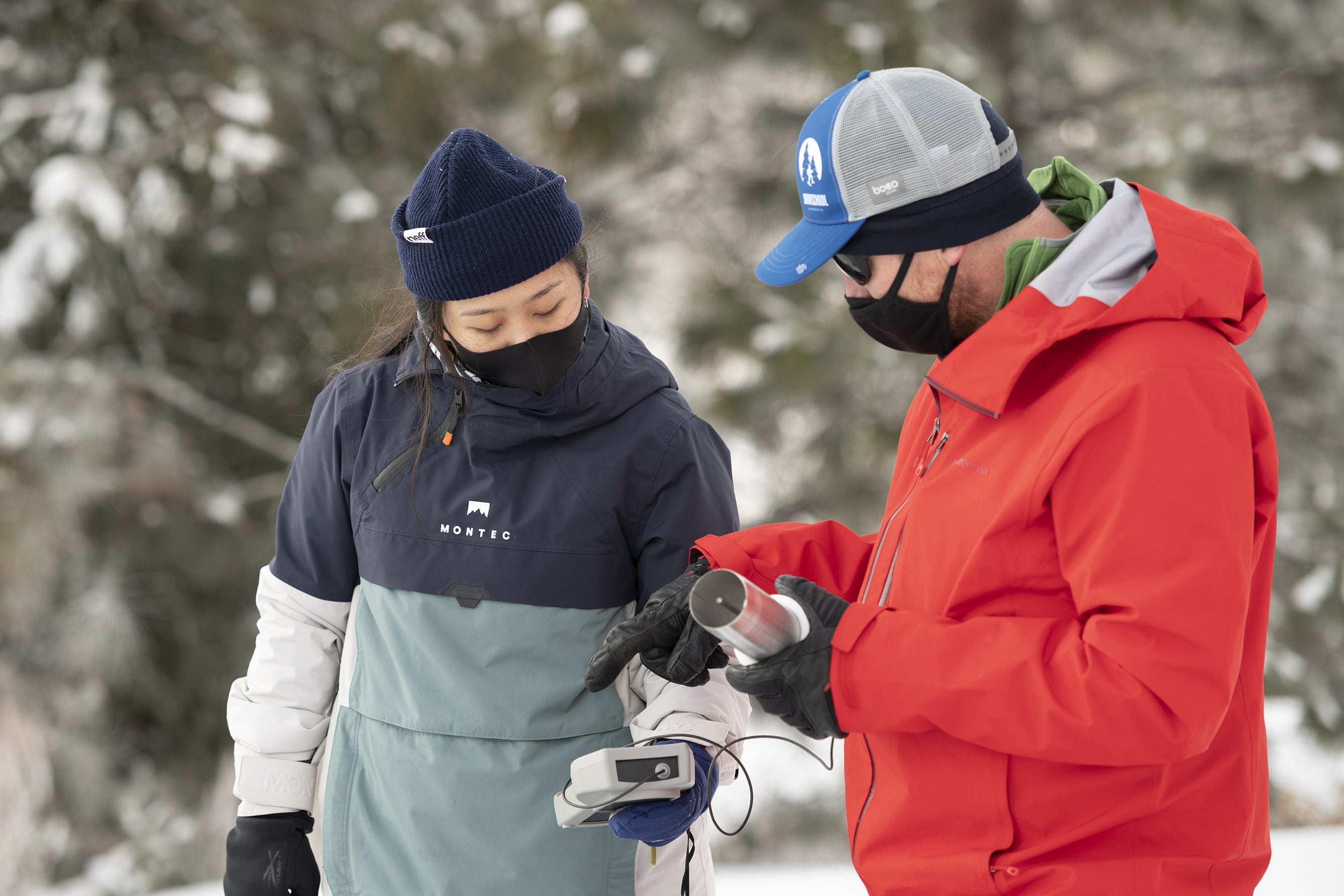
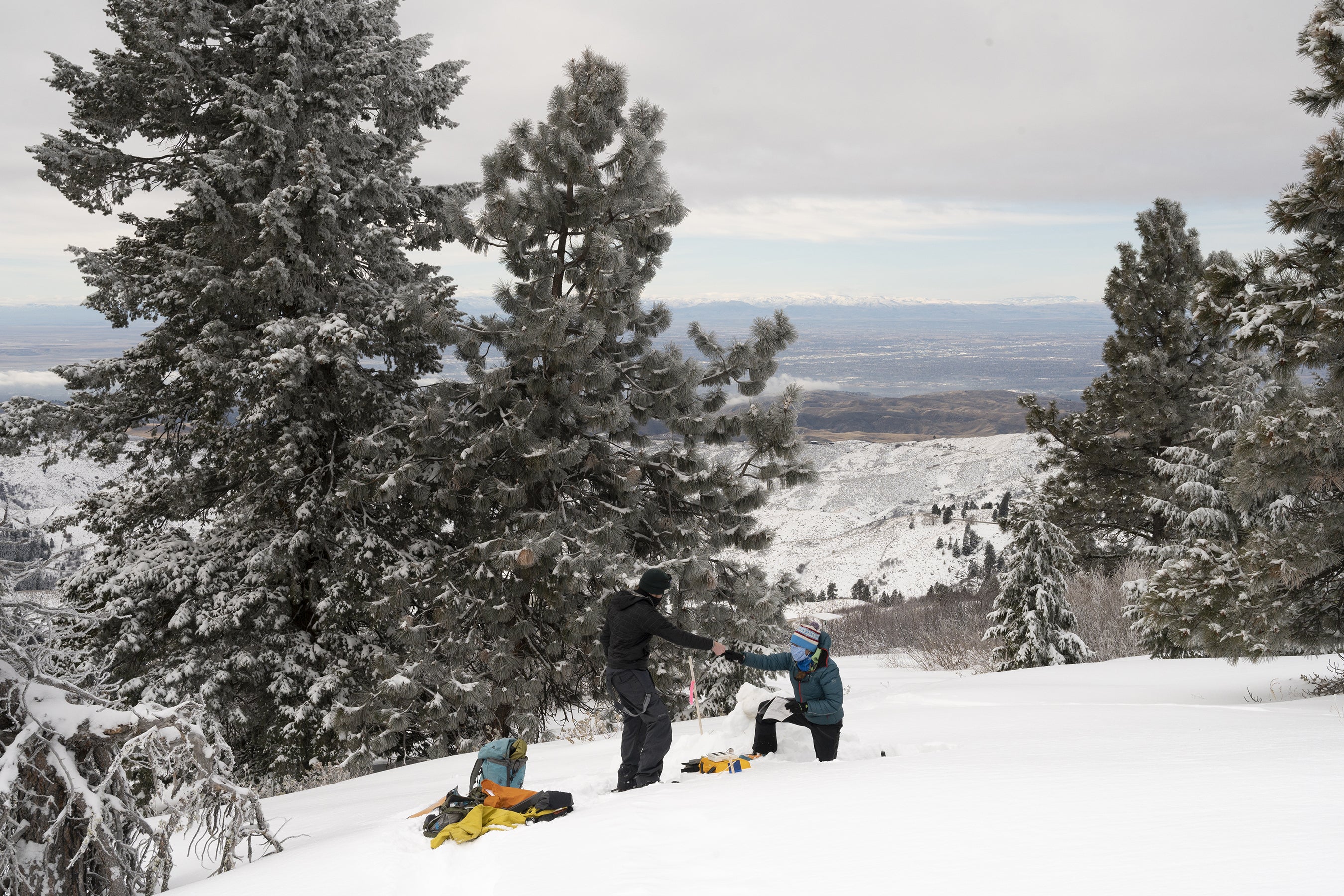
“We dig one [snowpit] in the open and one in the forest, and within the snow pit we measure the different layers of the snowpack, we look at the snow crystal types, as well as the size of the snow crystals. And then we measure the density of the snow, the snow temperature, and measure the liquid water content,” said Kraft.

For students, experience collecting this critical data and working with regional and national institutions to advance the field of snow science is a once-in-a-lifetime scholarly opportunity.
“As an undergraduate student, I feel honored to work on such a large project such as this, working with NASA, different universities across the western United States, meeting and talking to other people with different backgrounds, different education systems. It really expands my knowledge and background and prepares me for the job market in the future,” said 4th year geoscience student Daniel Murray, of Murrieta, CA.
Video Transcript
(upbeat music) (wind howling)
[Hans-Peter Marshall, Associate Professor, Geosciences] I think one of the things that makes Boise State really unique, in terms of snow research, one of the big ones is how accessible the mountains are. We’re only 15 miles from the campus and so we can get folks into the winter environment relatively easily. Snow impacts both Boise and Idaho because in this part of the world our water supply comes primarily from the seasonal snow cover. About 70% of our water each year comes from the snow that falls in the mountains. And that’s important both for water resources, for recreation, a lot of people use our river systems, so it’s part of the economy, for agriculture, and then also for hydro-power. And then predicting the amount of snow that we have in the mountains is important for flood forecasting as well.
(upbeat music) (shovel digging)
[Maggie Kraft, PhD Student, Geosciences] We are digging a snow pit. We dig one in the open and one in the forest and within the snow pit we measure the different layers of the snowpack and then in each layer we look at the snow crystal types as well as the size of the snow crystals. And then we measure the density of the snow and measure the liquid water content. So we’re looking at how much water is in the snowpack.
[Daniel Murray, Undergraduate Student, Geosciences and Hydrology] All right, first layer 76. As an undergraduate student I feel honored to work on such a large project such as this. Working with NASA, different universities across the Western United States, meeting and talking to other people with a little bit different backgrounds, a little bit different education systems it really expands my knowledge and background and prepares me for the job market in the future. So yeah, I feel extremely honored.
[Maggi] Conducting field research is a great experience cause you get to experience the different mechanisms of like say snow melt and snow accumulation and see it firsthand, which is very different than when you’re looking at the data inside. So you get to experience the different elements, the different parameters that affect the environment and our resources and you get to see that firsthand.
(helicopter roaring)
[Hans-Peter] So a LiDAR system measures the height of the snow and this specific system we’re working with, Silverhawk Aviation out of Caldwell, and it’s allowing us to very quickly integrate that instrument and then fly on about 24 hours notice. What we’re really finding is that the solution to the snow problem is gonna require field measurements like we’re doing today, remote sensing like the helicopter that flew over today, and the satellites that are timed to overpass our site and combining the models; the remote sensing and the ground measurements. All three of those pieces are very critical. Snow is a relatively new science, and so a lot of the problems that we tackle are questions that a lot of people haven’t actually looked at before. And what that means, for I think students, is that it’s much easier to make an impact than in some of these other fields that have been studied for hundreds and hundreds of years.
[Daniel] I get to be outside for most of my job and it is a no-brainer on my part.
(soft music) (wind howling)
