The Project
A satellite-based monitoring tool for mesic ecosystems in drylands of the American West
The Mesic Resource Restoration Monitoring Aid (MRRMaid) toolbox is a set of satellite-based monitoring tools for dryland mesic ecosystems in the US Intermountain West. Mesic ecosystems include river corridors (rivers, floodplains, and riparian zones), wetlands, wet meadows, and other freshwater environments. The web apps in this toolbox have been designed so that a user can zoom in and out of specific areas, draw polygons for their area of interest, and then show maps and plots of mesic ecosystem change over time.
The Toolbox
The MRRMaid toolbox is constantly evolving and improving over time, and currently consists of two web applications powered by Google Earth Engine. Access the MRRMaid Monthly, MRRMaid MVP, and MRRMaid MVPRestore apps, user guides, video tutorials, and associated publications below.
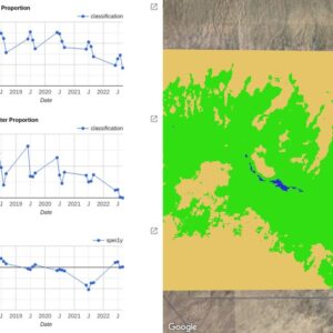
MRRMaid Monthly App: Monthly maps and time-series of mesic vegetation and surface water during the growing season.
Kolarik, N., Shrestha, N., Iskin, E., and Brandt, J. (2023). Decision Support Tool – GEE Web App for Monthly MRRMaid.
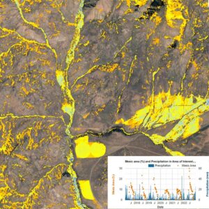
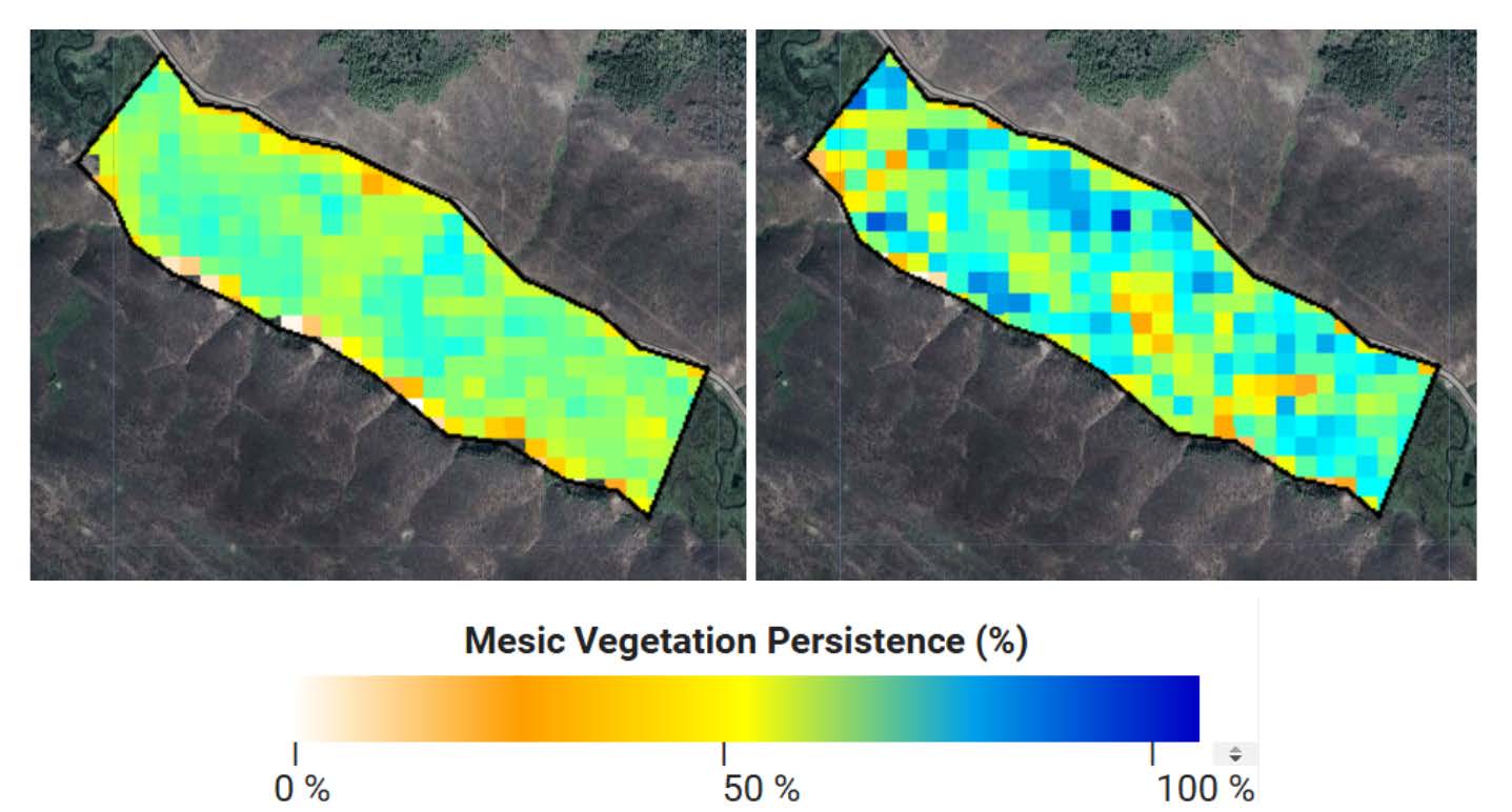
MRRMaid MVP App: Maps of mesic vegetation persistence (MVP) and dense seasonal and inter-annual time-series of mesic vegetation.
Shrestha, N., Kolarik, N., Iskin, E., and Brandt J. (2023). Decision Support Tool – GEE Web App for Mesic Vegetation Persistence.
MRRMaid MVPRestore App: Maps of mesic vegetation persistence (MVP) and dense seasonal and inter-annual time-series of mesic vegetation designed specifically for river restoration practitioners.
Rojas Lucero, J.C., Iskin, E., Shrestha, N., Kolarik, N. and Brandt, J. (2024). Decision Support Tool – GEE Web App for MVPRestore.
MRRMaid Training Webinar
This 1-hour long webinar was delivered virtually on February 22, 2024, and gives an overview of the MRRMaid toolbox and basic instructions to get you started using the MRRMaid tools.
Restoration Network for Rangeland Mesic Ecosystems in Idaho and Oregon
The Mesic Restoration Network holds regular virtual webinars to discuss topics of interest among network participants. Below we provide links to recordings of our virtual webinars. Please contact jodibrandt@boisestate.edu if you would like to join the network list-serv and receive emails about our activities.
-
- November 2024 Roundtable: QRiS and Riverscapes
- December 2024 Roundtable: MRRMaid Use Cases
- January Roundtable: Permitting and Compliance
A NASA-funded project to provide decision support for beaver rewilding

MRRMaid is the product of a NASA-funded project to provide decision support for beaver rewilding. The project contains three main components: research, extension and outreach.
Research
We develop satellite-based measurements of mesic ecosystems. This is the research focused part of our work, and mostly takes place in front of a computer, using new technologies to make maps of mesic ecosystems from satellite images. We have partners in the field who really know their ecosystem, and we can use those sites as “test sites” for our research. The products we develop cover broad areas, e.g. all of southern Idaho, and in some cases, the entire west.
Extension
Once we have a validated monitoring product, we create web apps to make those monitoring products available. That way anyone can use them in the sites they are working at. Currently, we have two “beta version” web-apps that enable open source use of our existing data products.
Outreach
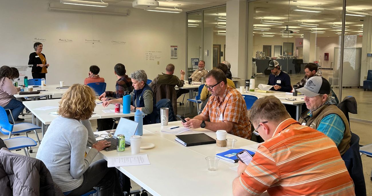
We also conduct workshops with our partners. The goal here is to develop relationships between researchers, agencies, and people working directly with restoration projects — that makes everyone’s work better and more fun. Please contact jodibrandt@boisestate.edu if you would like to be included on our email list.
Project Team
-
Jodi Brandt

-
Emily Iskin

-
Nick Kolarik

-
Nawaraj Shrestha

-
Nancy Glenn

Partners and Funding Sources
- U.S Department of Agriculture
- Utah State University
- North Arrow Research
- Idaho Fish and Game
- US Fish and Wildlife
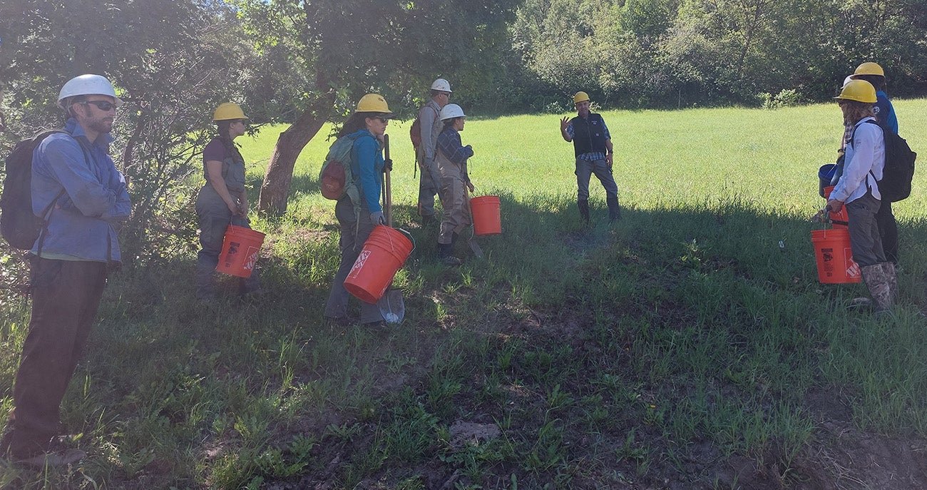
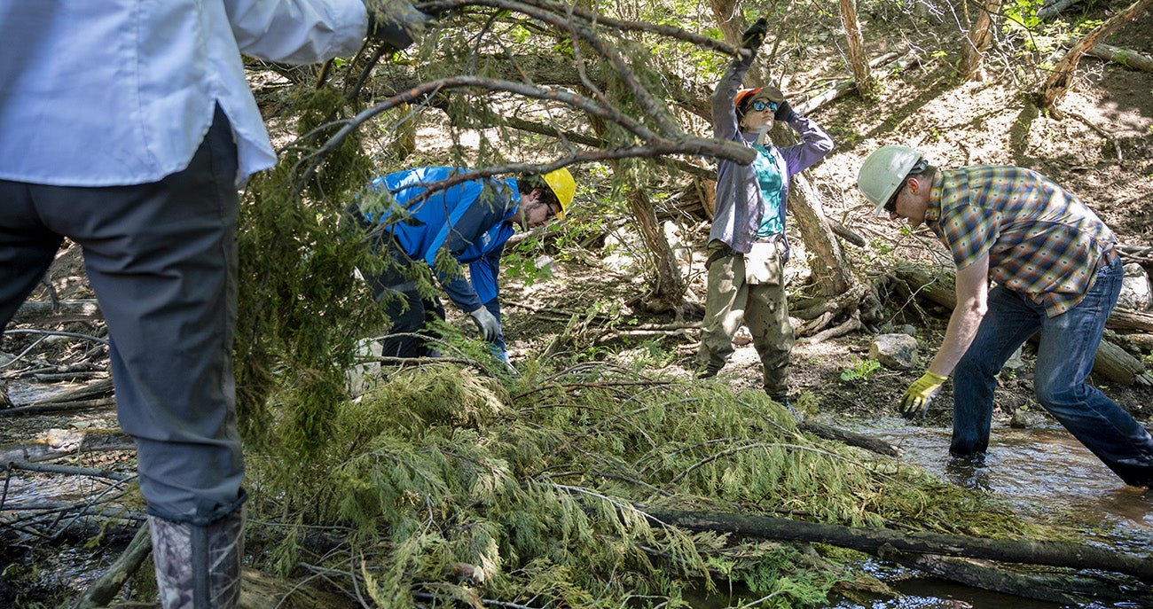
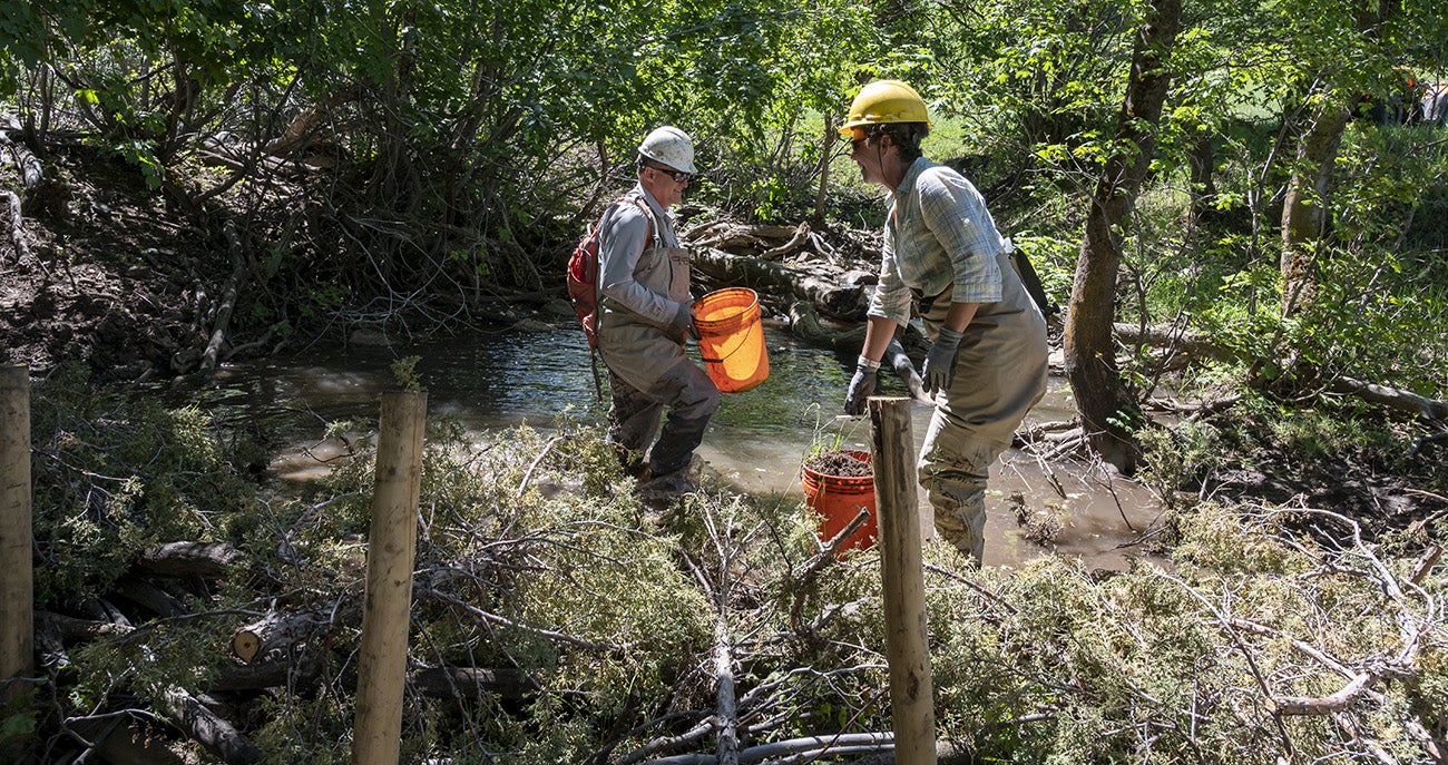
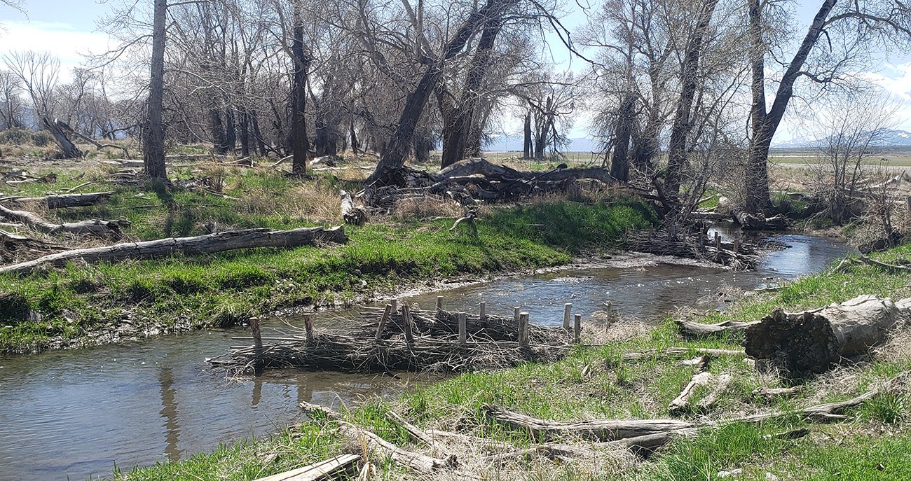
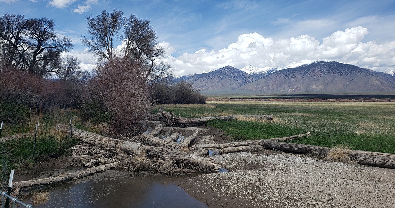
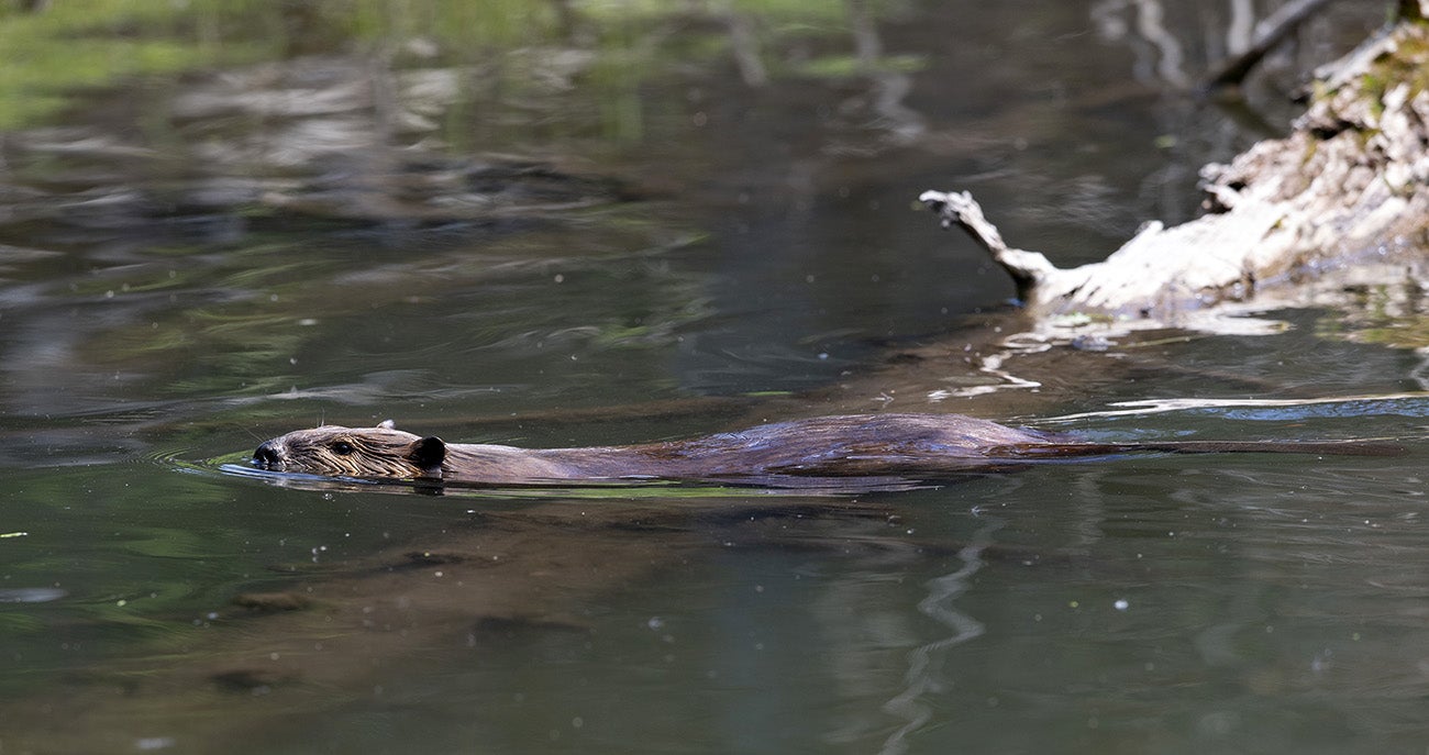
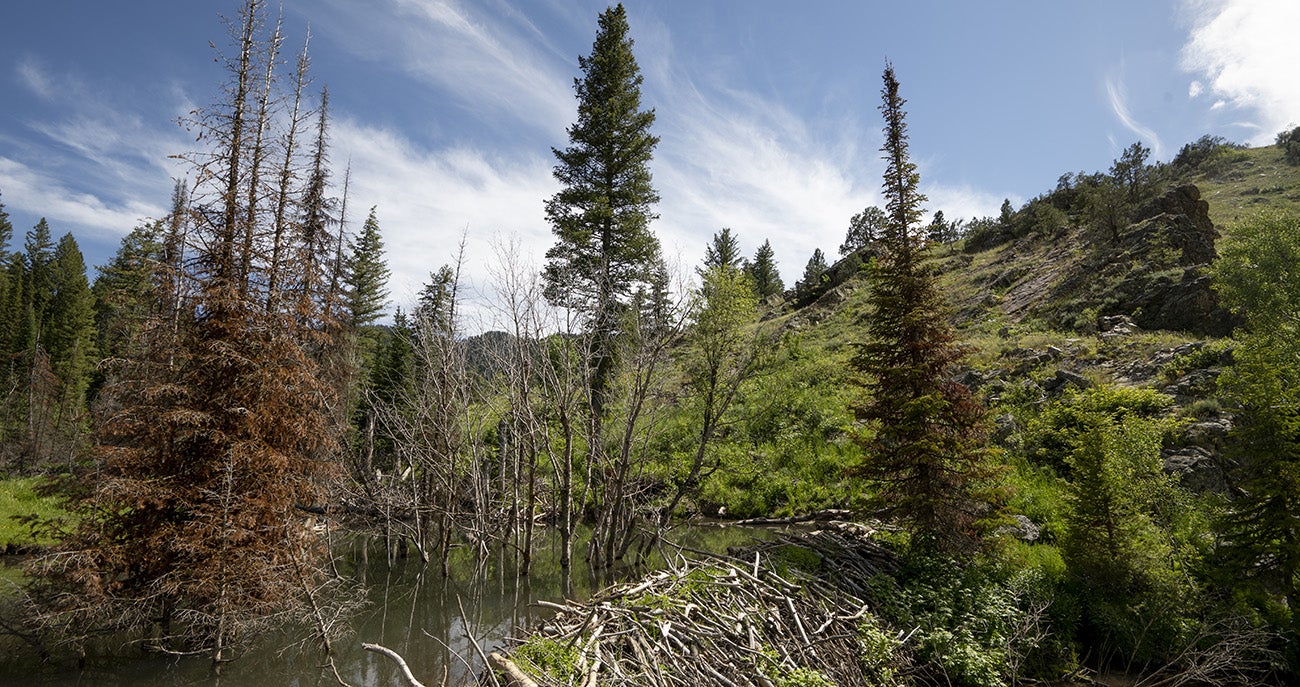
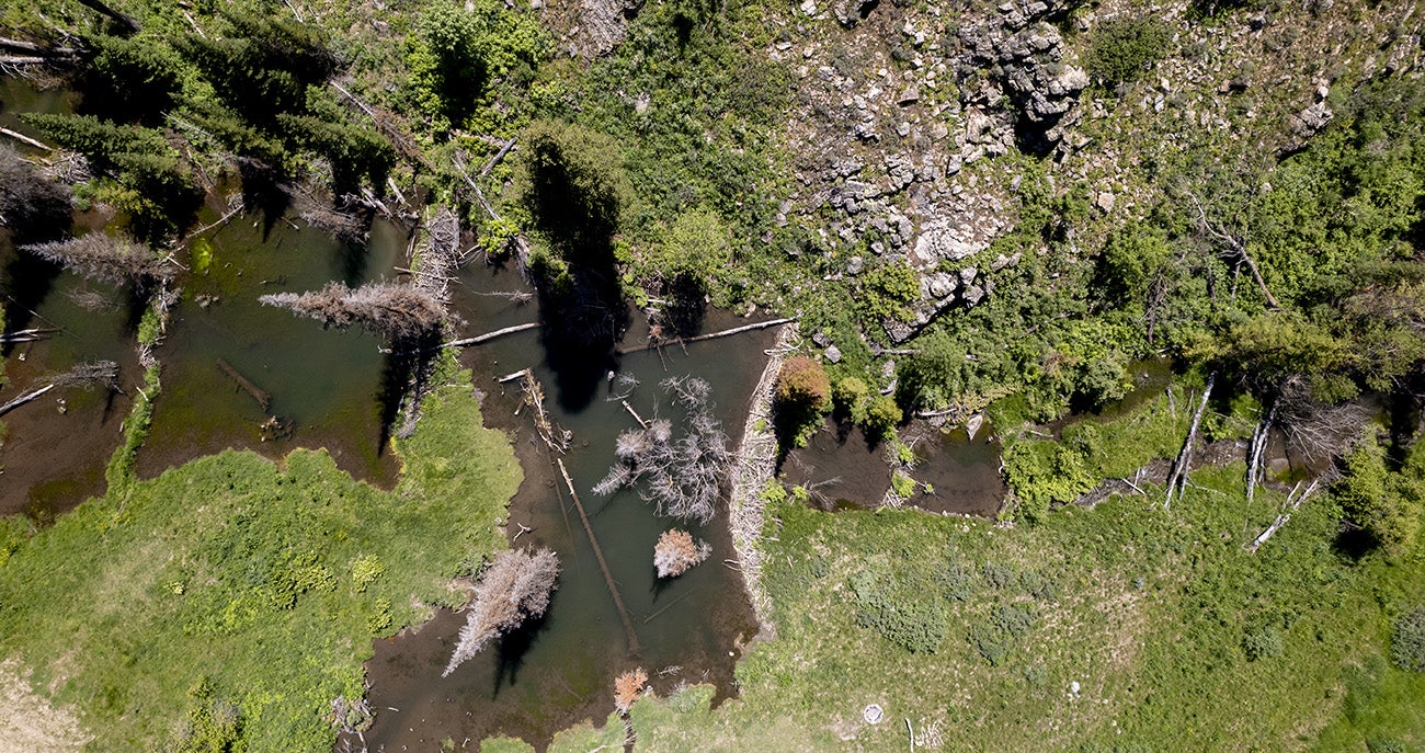
Photo Gallery