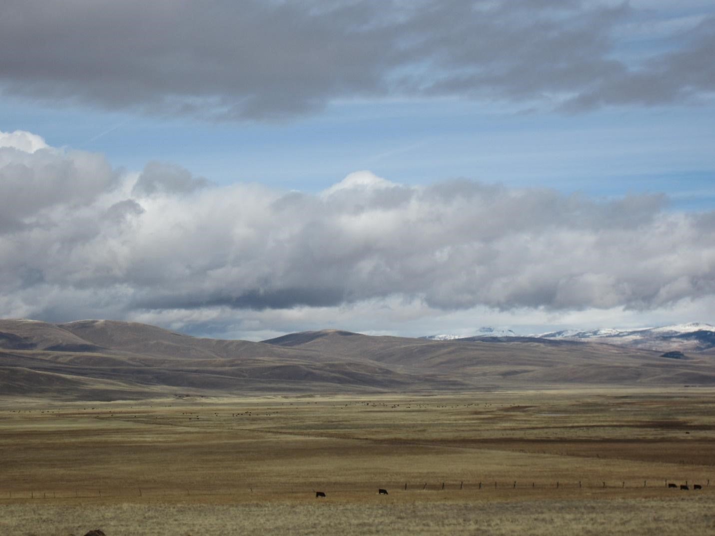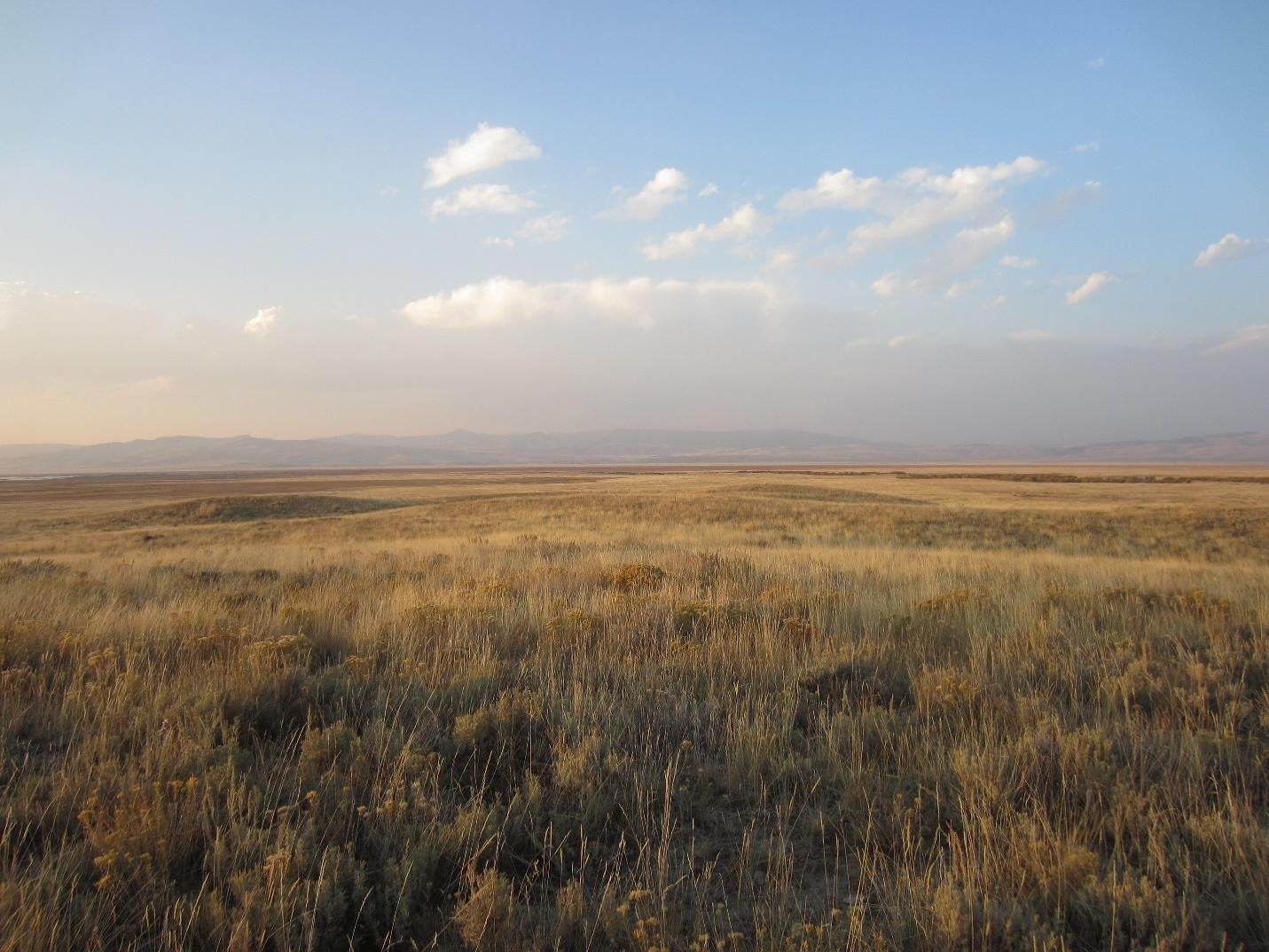
Nearly 26 of the 53 million acres of land in Idaho classify as rangeland. The Idaho Bureau of Land Management (BLM) administers 11.5 million acres for livestock grazing for over 1600 livestock producers through a 10 year permitting process. BLM specialists and livestock producers like ranchers work to create and administer the terms of the permits to manage rangelands for multiple use and perpetuation.

Ecological indicators are used to monitor changes and responses in ecological processes but can also be used to represent knowledge about the ecosystem. Ranchers and BLM specialists have a relationship with the land and bring their unique knowledge-sets to rangeland management. Understanding how the ecosystem is changing and how to respond to the changes to create the best management scenario is a constant pressing question. Managers rely on monitoring and knowledge of the ecosystem to adapt. For livestock producers to have flexibility and for permits to adequately accommodate changes necessitated by climate variations, monitoring must accurately represent the objectives and management responses of both the producer and the BLM. Comparing the indicators that agencies and ranchers select to assess and inform management can build an understanding of rangeland knowledge and management in Idaho and the opportunities for collaboration and adaptation.
The ecological indicators of southern Idaho project will answer the question, how do Bureau of Land Management specialists’ and ranchers’ identified indicators and applied knowledge systems compare on management and ecological timelines?
The research involves interviews with ranchers and BLM specialists throughout Idaho. The information from the interviews will be used to create ecological calendars. Ecological calendars can visually represent the timing and fluctuations of indicators and be used to show the alignment of management, local knowledge, and ecological change. The calendars and interview information can be used to provide insight on common observations about the land (an informal form of monitoring) and areas of high priority for management flexibility and adaptation in accordance with ecosystem processes and potential environmental changes.
Team
Callie Puntenney, Boise State University
Dr. Kelly Hopping, Boise State University
Funding Sources
The Department of the Interior Northwest Climate Adaptation Science Center
Publications