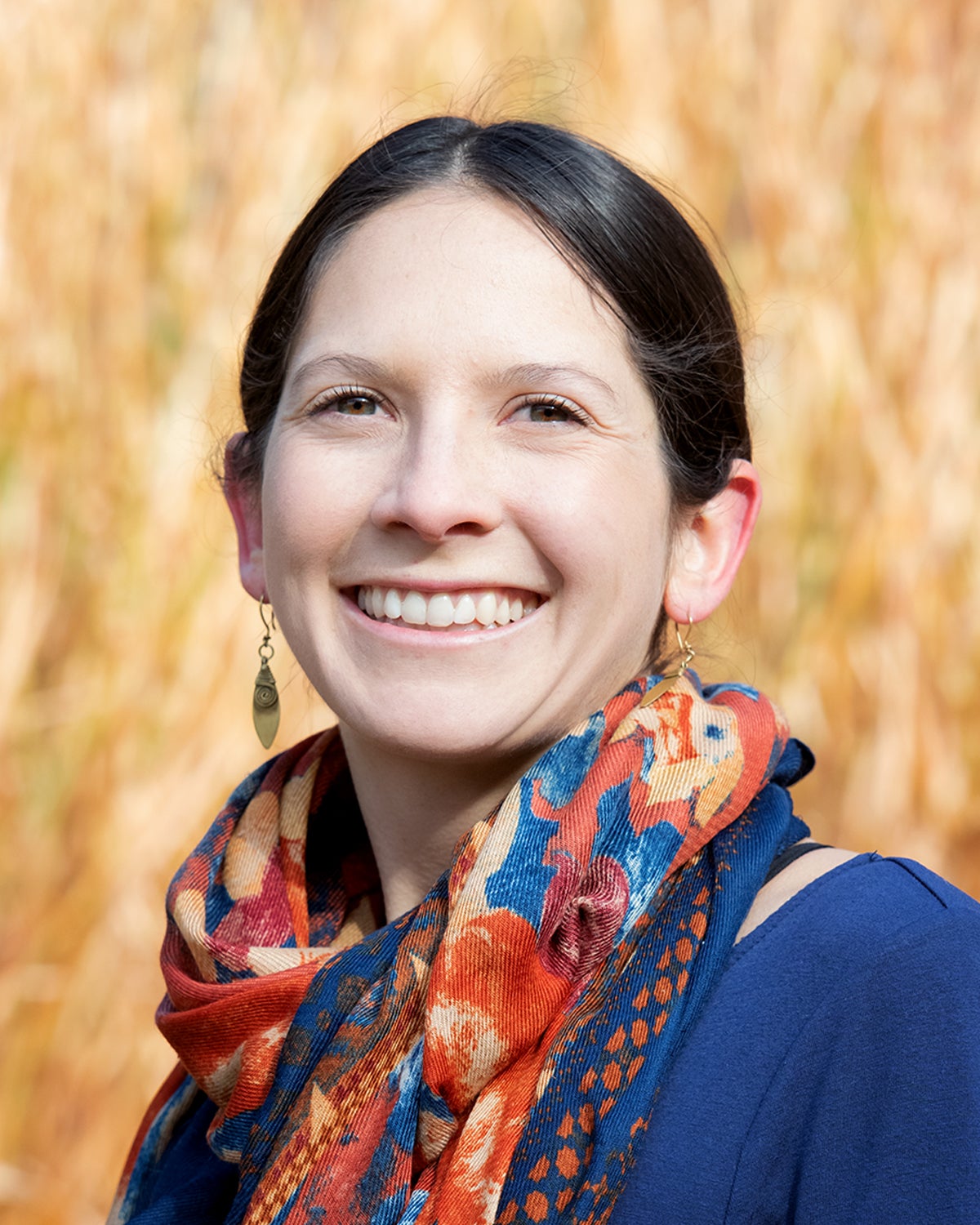
Tara Pozzi

Master of Science in Biology Student
Tara is interested in the mechanisms that shape behavior and decision-making processes influencing a community’s adaptive capacity and resilience in the context of disasters.
Advisor: Dr. Vicken Hillis
Factors Influencing Technology Adoption in Flood Risk Management
Abstract:
Flood frequency and intensity are expected to increase in the Western United States due to changes in the hydroclimatic cycle; however, many flood risk managers lack the updated topographic data needed to accurately predict their community’s flood risk. Light Detection and Ranging (lidar) has proven to be an effective technology for increasing the accuracy of floodplain maps due to the fine-scale of collection resolution of the earth’s surface, typically one-meter. As of 2018, only 17% of the state of Idaho had been flown with lidar that could be publicly accessed. Several semi-structured interviews were conducted in order to identify potential factors that could be affecting lidar use such as risk preferences and perceptions, peer influence, and other structural barriers like a lack of funding. In addition, a survey instrument was used to understand the role these factors play in primary decision makers, including local and state flood risk managers, adoption of lidar. These findings will be used to assess current use of lidar for flood risk management, identify challenges to lidar adoption, and understand the drivers of lidar adoption. Our findings will generate knowledge that can guide program design and implementation of lidar for flood risk management.
Project Highlights:
- Conducted 10 semi-structured interviews with individuals from varying agency types and decision-making responsibilities pertaining to flood risk and lidar use
- Survey, informed by interview findings, was distributed to over 1,000 flood risk managers across Idaho, Oregon, Washington, and Alaska
- Data collected from this survey will:
- Inform outreach and engagement efforts in lidar education in Idaho
- Provide insight into barriers preventing the adoption of lidar
- Highlight the factors influencing flood risk managers to adopt new technology
Project Team:
Tara Pozzi, Boise State University
Dr. Vicken Hillis, Boise State UniversityDr. Nancy Glenn, Boise State University
Josh Enterkine, Boise State University
Links:
Article about project: FEMA Grant allows hazard mapping across Idaho
Mapping for resilience: the multi-use applications of lidar across Idaho
Abstract:
Lidar is an under-utilized technology that can bolster planning and mitigation efforts across several domains of work. However, there are still many parts of Idaho that do not have access to lidar or if they do have access, are not using this technology due to barriers such as lack of knowledge about lidar. In an effort to address this problem, this project will create an educational and interactive document for emergency managers to learn about lidar. This project will use Storymap, an AcrGIS application, to display this information with media such as images and maps, as well as text to help tell the story of lidar in Idaho. The Storymap will cover various applications in hazard management such as floods, fire, landslides, and compounding hazards, as well as other applications such as transportation, water quality, and change detection.
Project Highlights:
- Create several images displaying what lidar products look like
- Clear, concise text throughout the Storymap to enhance the story told by imagery
- Engagement with at least eight individuals that currently use lidar and collection of personal stories of their experiences using the technology
- Distribution of Storymap to emergency managers, elected officials, and general public to engage a wide range of individuals
Project Team:
Tara Pozzi, Boise State University
Dr. Vicken Hillis, Boise State University