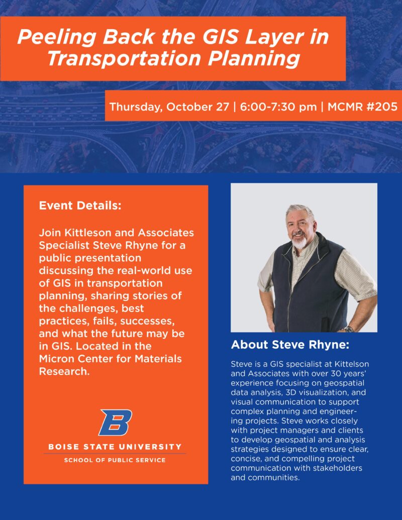
The Urban Studies and Community Development Program is hosting a presentation entitled “Peeling Back the GIS Layer in Transportation Planning,” with Steve Rhyne. Steve has over 30 years’ experience focusing on geospatial data analysis, 3D visualization, and visual communication to support complex planning and engineering projects. This presentation will cover the real-world use of GIS in transportation planning, sharing stories of the challenges, best practices, fails, successes, and what the future may be in GIS. The event is on Thursday, October 27, 6:00-7:30 pm in MCMR #205.

Event Details
Join Kittleson and Associates Specialist Steve Rhyne for a public presentation discussing the real-world use of GIS in transportation planning, sharing stories of the challenges, best practices, fails, successes, and what the future may be in GIS. Located in the Micron Center for Materials Research.
About Steve Rhyne
Steve is a GIS specialist at Kittelson and Associates with over 30 years’ experience focusing on geospatial data analysis, 3D visualization, and visual communication to support complex planning and engineering projects. Steve works closely with project managers and clients to develop geospatial and analysis strategies designed to ensure clear, concise, and compelling project communication with stakeholders and communities.