Station Status: Decommissioned 2018
Corrected data are available for download in the “Historical Data” tab.
General site description is available in the “Site Info” tab.
For questions or assistance with this data, please contact Dr. Chris Walser.
Info and Data

Site info
DCEW Site: Mid-High S-facing site (MHS)
Location (Lat/Long): 43.7205044, -116.1257444
Elevation: 1457 m
Reporting Period: 2008 to June 30, 2018
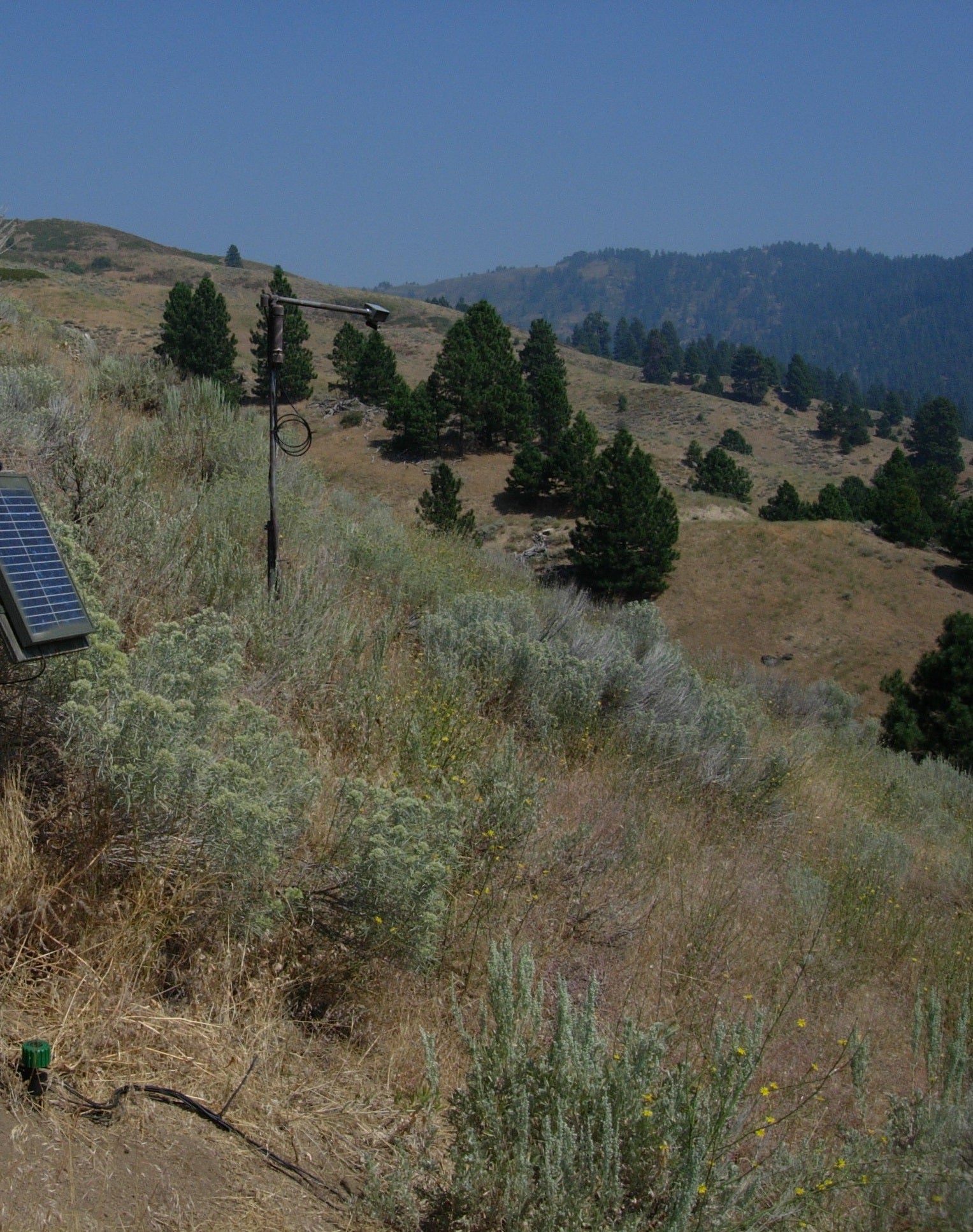
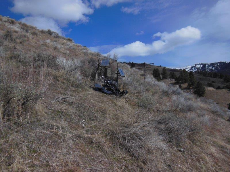
Site Notes:Mid-High S-facing site (MHS) was established as one of eight sites in a paired north vs. south facing hill slope soil measurement network within DCEW. Located in the rain-snow transition zone for winter precipitation on the Boise Front, MHS is proximate to the Treeline weather station wherein water years 2008-2011 averaged 700 mm precipitation, with snowpack generally less than one meter deep (December- April).
Soil at this forested site contains 82-11-8 sand-silt-clay for < 2mm weight percentages, approximately 80 cm deep above fractured crystalline bedrock. Vegetation is grass, forb and brush.
Soil moisture and temperature is measured in four adjacent pits with quadrilateral separation at 3 meters. In each of the four pits ECH2O EC-TM sensors are emplaced at 2, 15, and 30 cm depth with a fourth sensor placed just above bedrock to provide synchronous soil moisture and temperature measurement. A snow depth sensor was installed at this site for water year 2013 and thereafter.
