Station Status: Decommissioned 2019
Corrected data are available for download in the “Historical Data” tab.
General site description is available in the “Site Info” tab.
For questions or assistance with this data, please contact Dr. Chris Walser.
Site Information and Historical Data

Site info
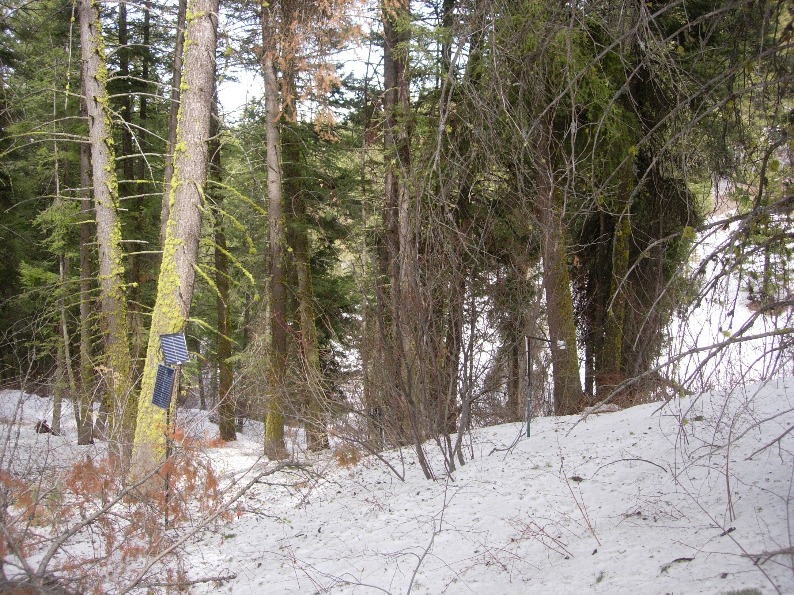
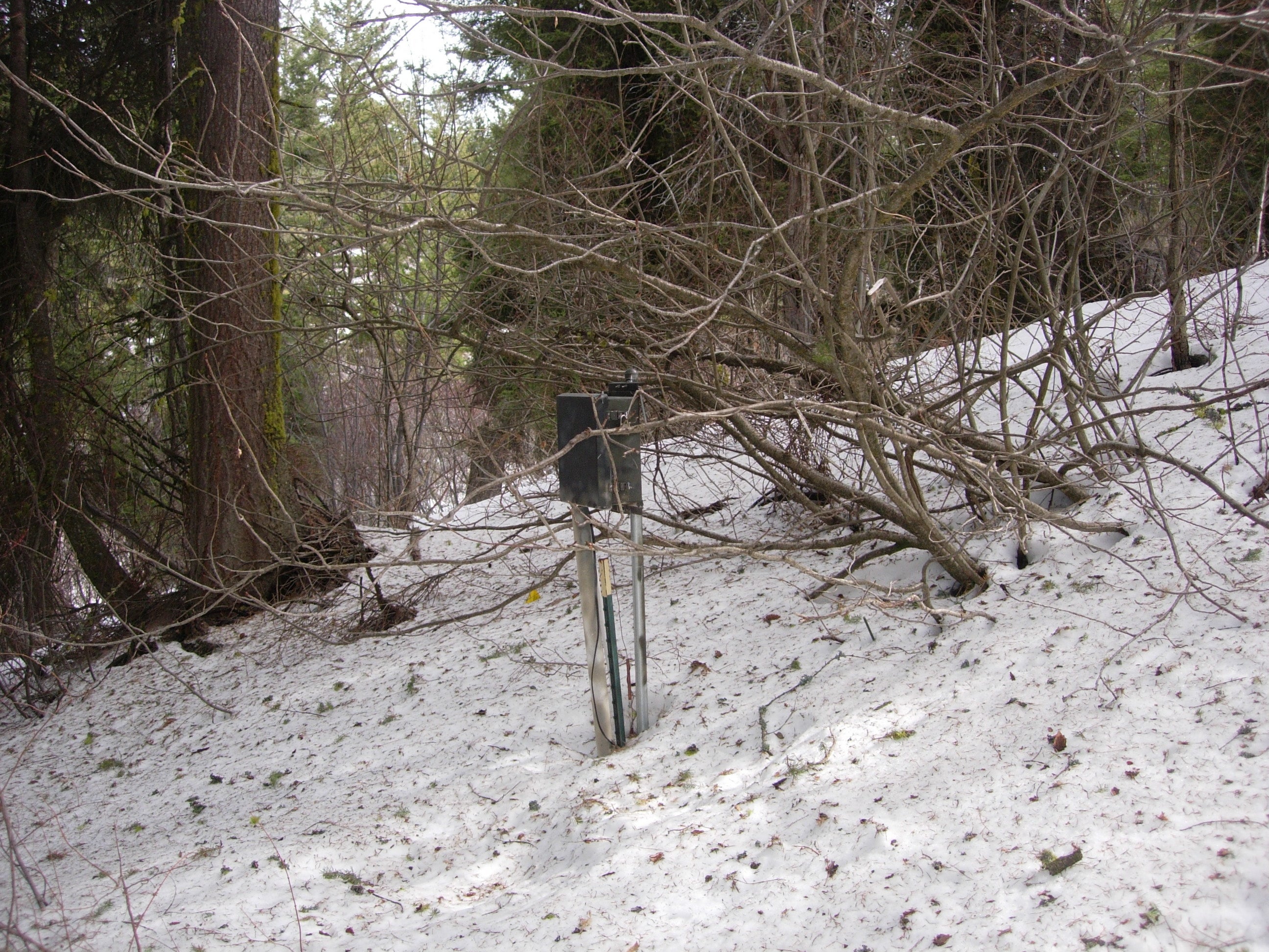
DCEW Site: High N-facing site (HN)
Location (Lat/Long): 43.7406725, -116.1185956
Elevation: 1812 m
Reporting Since: 2008
Site Notes: High N-facing site (HN) is paired with site High S-facing site (HS) as the high elevation measurement component of an eight site network. Located above the rain-snow transition zone for winter precipitation on the Boise Front, HN is proximate to weather station Lower Deer Point (LDP) wherein water years 2008-2011 averaged 762 mm precipitation, with snowpack generally one meter deep or less (December – April).
Soil at this forested site includes high organic content topsoil with primary soil horizons 71-20-9 sand-silt-clay < 2mm weight percentages. Soil depths are approximately 70 cm above fractured crystalline bedrock. Vegetation is Ponderosa pine and Douglas fir forest with deciduous shrubs below dense canopy.
Soil moisture and temperature is measured in four adjacent pits with quadrilateral separation at 3 meters. In each of the four pits ECH2O EC-TM sensors are emplaced at 2, 15 and 30 cm depth from surface with a fourth sensor placed just above bedrock to provide synchronous soil moisture and temperature measurement. A snow depth sensor was installed for water year 2011.
