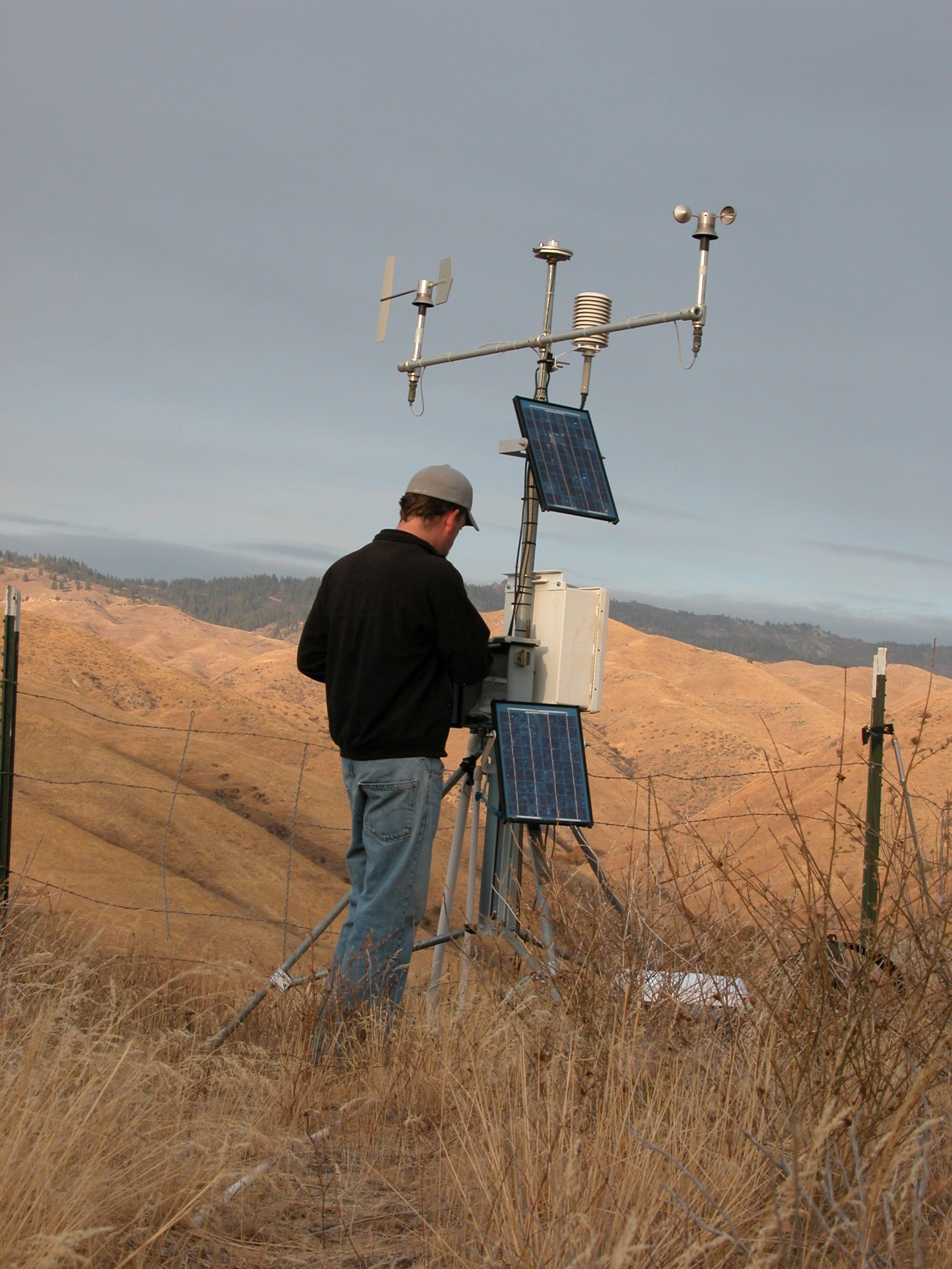
Station Status: Operational, Intermittent Telemetry.
Note: Telemetry may fail during fire season/other.
Recent raw data are telemetered hourly.
Corrected data is available for download in the “Historical Data” tab.
General site description is available in the “Site Info” tab.
For questions or assistance with this data, please contact Dr. Chris Walser.
Lower Weather Data
Site Info
DCEW Site: Lower Weather (LW)
Location (Lat/Long): 43.6885278, -116.16991
Elevation: 1151 m
Reporting Since: 1999
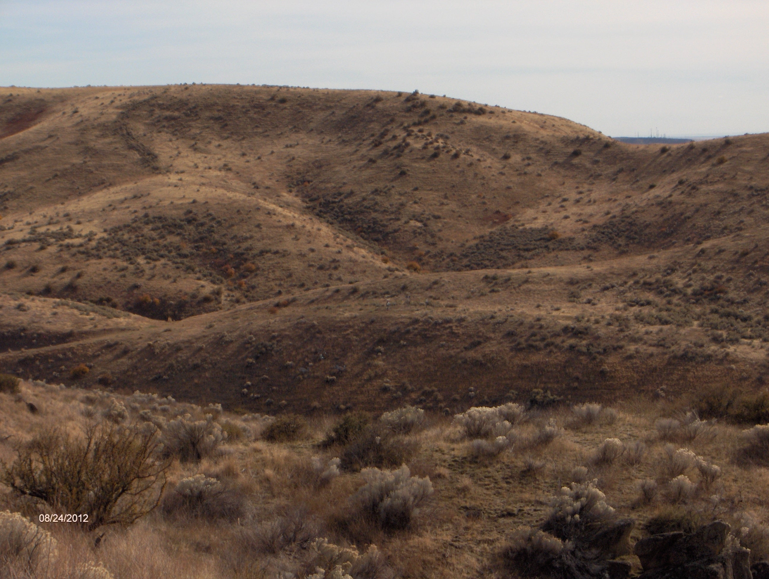
Site Notes: Lower Weather (LW) is located on the lower ridge line of DCEW, within one kilometer and east of the Lower Gauge outlet measurement site for DCEW. Winter snowfall is rare at this site, with accumulation generally less that 0.5 meters (December-March). Annual precipitation at LW for the period of record, 1999-2011, ranges from 300 mm to 550 mm, average 392 mm.
Soil at the site as sandy loam, zero to over one meter depth above fractured crystalline bedrock. Vegetation includes grass, forbs and low brush.
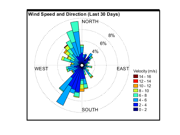
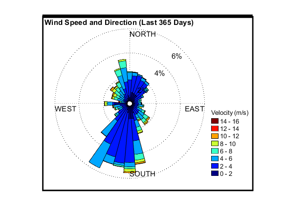
Instrumentation at the site is currently measuring the following variables: air temperature, relative humidity, solar in and net radiation, wind direction and speed, soil moisture, soil temperature, shielded and unshieded rain gages, and snow depth.


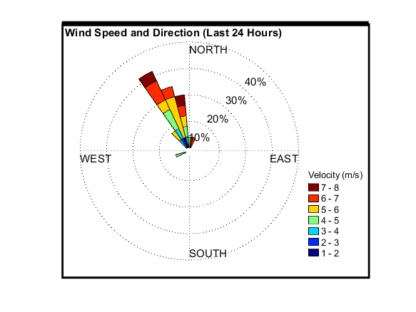






 “
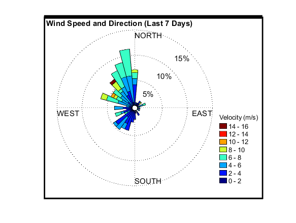
“