Station Status: Intermittent Operational, No Active Telemetry
Corrected data is available for download in the “Historical Data” tab.
General site description is available in the “Site info” tab.
For questions or assistance with this data, please contact Dr. Chris Walser.
Site Info and Historical Data

SITE INFO
DCEW Site: Con2Main
Location (Lat/Long): 43.7022778, -116.154095
Elevation: 1143 m
Reporting Since: 2004
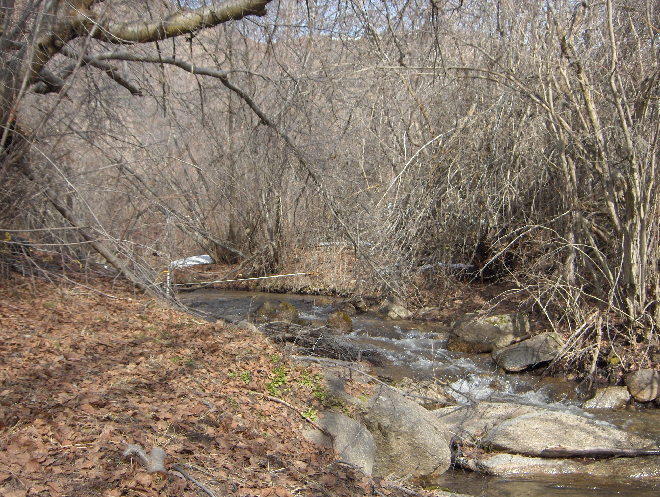
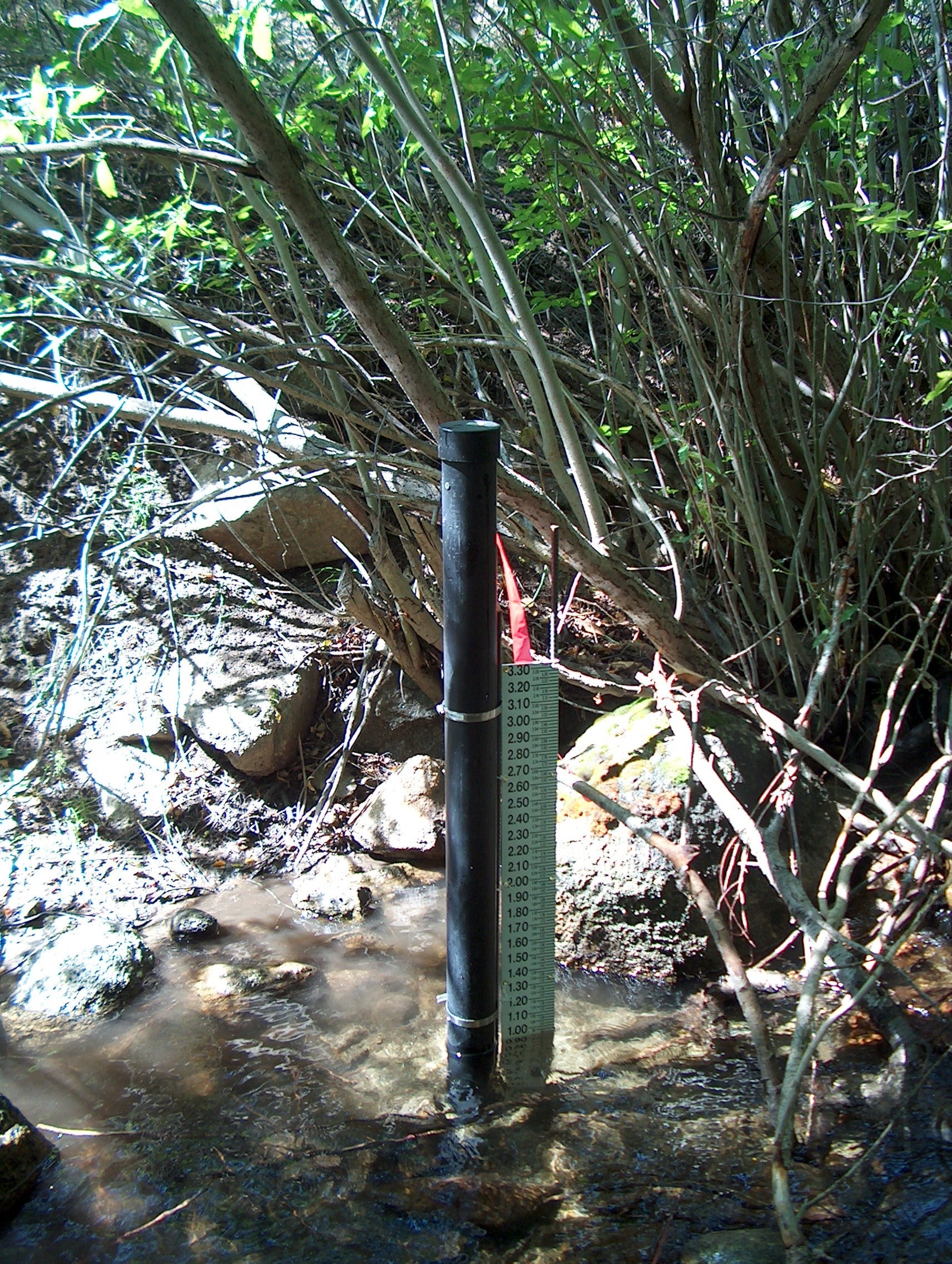
Site Notes: Confluence 2 Main is located 2.5 km upstream of the Lower Gauge outlet, just several meters downstream of Shingle Creek confluence with Dry Creek. Instrumentation at this site provides continuous in-stream water level, stream temperature, and conductivity. On site measurement of stream discharge compared against site staff gage height provides a current rating curve validated or updated numerous times annually. This rating curve is used to output continuous discharge data. Water samples have been collected at this site for analysis at weekly to monthly intervals since 2004, initially for major ions and recently to include cations and oxygen isotopes. Stream flow at this site is perennial with near zero flow occurring rarely in August.
