Station Status: Operational, No Active Telemetry
Note: Telemetry may fail during fire season/other.
Recent raw data is telemetered hourly.
Corrected data is available for download in the “Historical Data” tab.
General site description is available in the “Site Info” tab.
For questions or assistance with this data, please contact Dr. Chris Walser.
Information And Data
Site Info

DCEW Site: Bogus South Gauge
Location (Lat/Long): 43.7407086, -116.0989983
Elevation: 1680 m
Reporting Since: 2004
Site Notes: The Bogus South gauge is a 0.6 square kilometer basin ranging in elevation from 1680-2135 meters and is less than 1.5 km downslope of Deer Point on the Boise Ridge. It is underlain by fractured granite typical of the Idaho Batholith. The soils overlying the granitic bedrock are thin (~ 0.5 m) and coarse (between sandy loam and loamy sand). The steep northern headwalls of the basin are mostly exposed, weathered granite, while the ridges, valley bottom, and east and west slopes have varying depths of soil. Vegetation is typical of forests and rangelands of mid elevation Boise Front Mountains. Large trees cover a very small portion of the basin and are exclusively Pseudotsuga menziesii (Douglas-fir) and Pinus ponderosa (ponderosa pine), while the majority of the basin is covered with Ceanothus spp. (buck brush) and Prunus spp. (bitter and choke cherry shrubs).
The 5-year average temperature at the Bogus Experimental Watershed , as reported by the NRCS Bogus Basin SNOTEL site, is 6.17ºC. The 5-year average maximum snow depth is 65.4 cm. The 5-year average annual precipitation is 67.6 cm.
The perennial pool drop stream in the Bogus Experimental Catchment originates from one dominant spring in the rocky headwall, and is fed subsequently by 2-3 lesser springs originating as swampy marshes within a meter of the stream. Several water tracks also feed the stream during snowmelt that quickly stop flowing as the snow pack decreases. Average daily discharge from the 2003-2004 water year was 0.0028 m3/s.
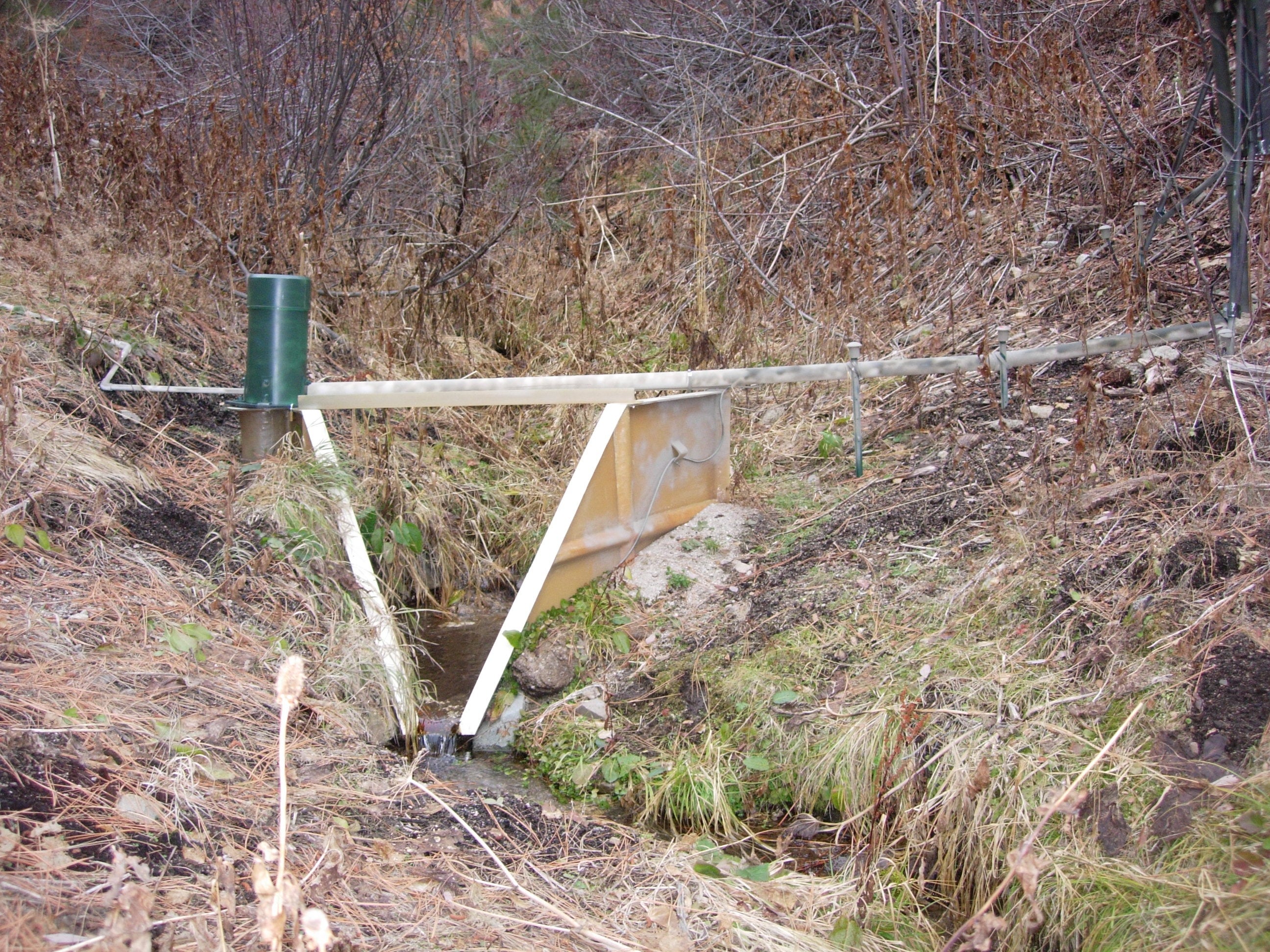
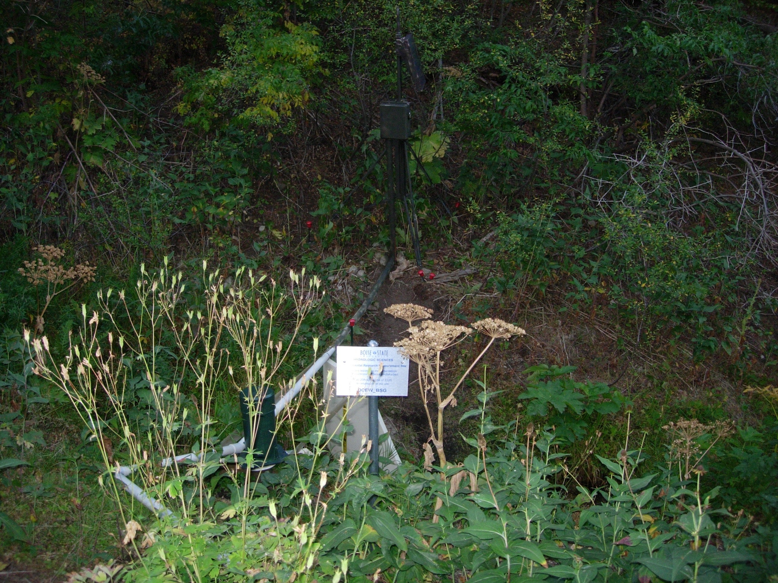
The site is instrumented with water level, stream temperature, and electrical conductivity sensors installed in the stream draining the basin at an elevation of 1700 m. Data from each sensor is logged in hourly increments and is downloaded as archival data. A flume was installed October 1st 2012 providing water level, discharge, temperature, conductivity and adjacent snow depth measurement to present. Water samples have been collected at this site seasonally since 2004, initially for major ions and more recently to include cations and oxygen isotopes.


