Station Status: Operational, Intermittent telemetry
Note: Telemetry may fail during fire season/other.
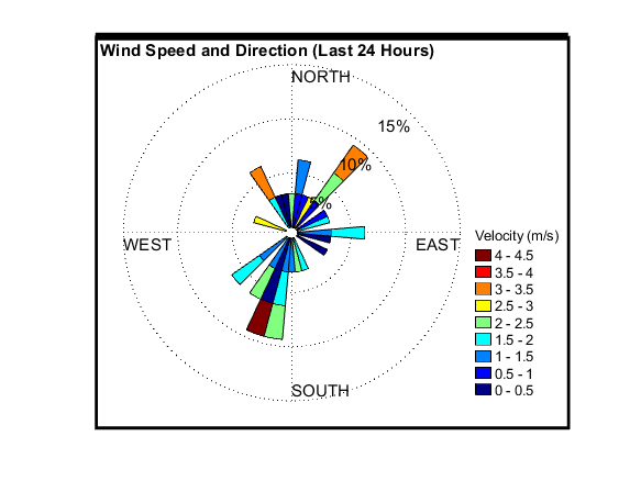
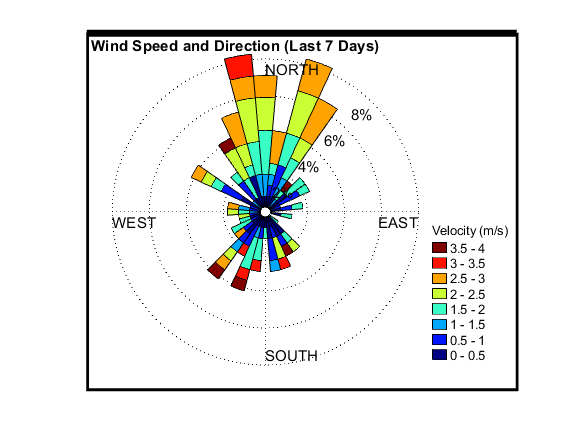
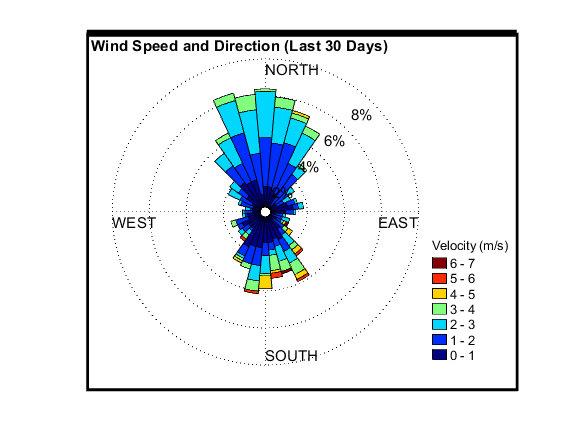
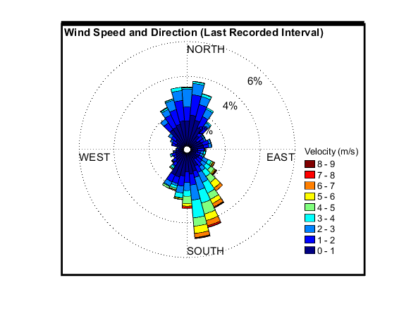
Recent raw data are telemetered hourly.
Corrected data are available for download in the “Historical Data” tab.
General site description is available in the “Site Info” tab.
Questions or Assistance
For questions or assistance with this data, please contact Dr. Chris Walser.
Data
SITE INFO
DCEW Site: Shingle Creek Ridge (SCR)
Location (Lat/Long): 43.71105, -116.09912
Elevation: 1720 m
Reporting Since: 2010
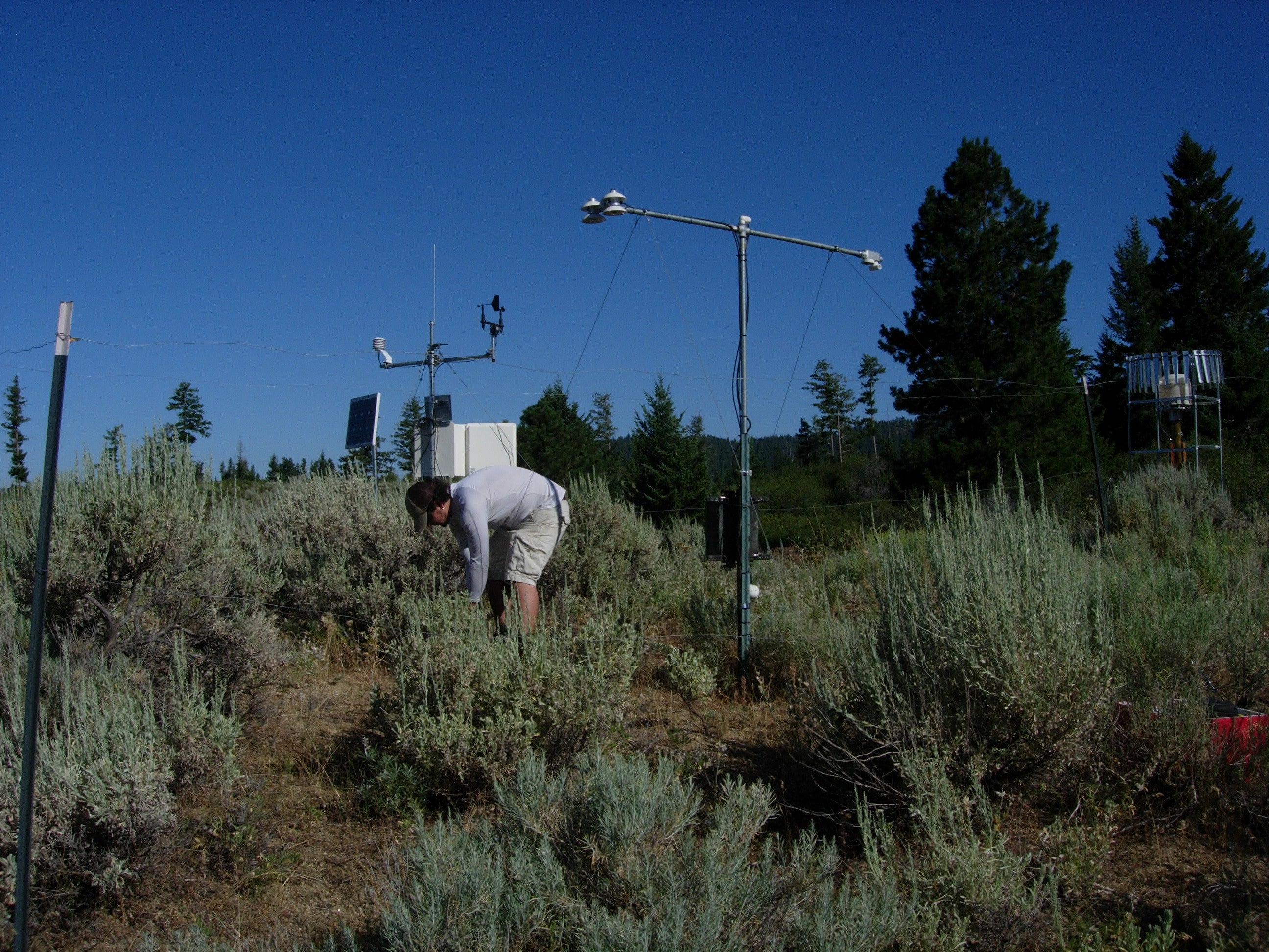
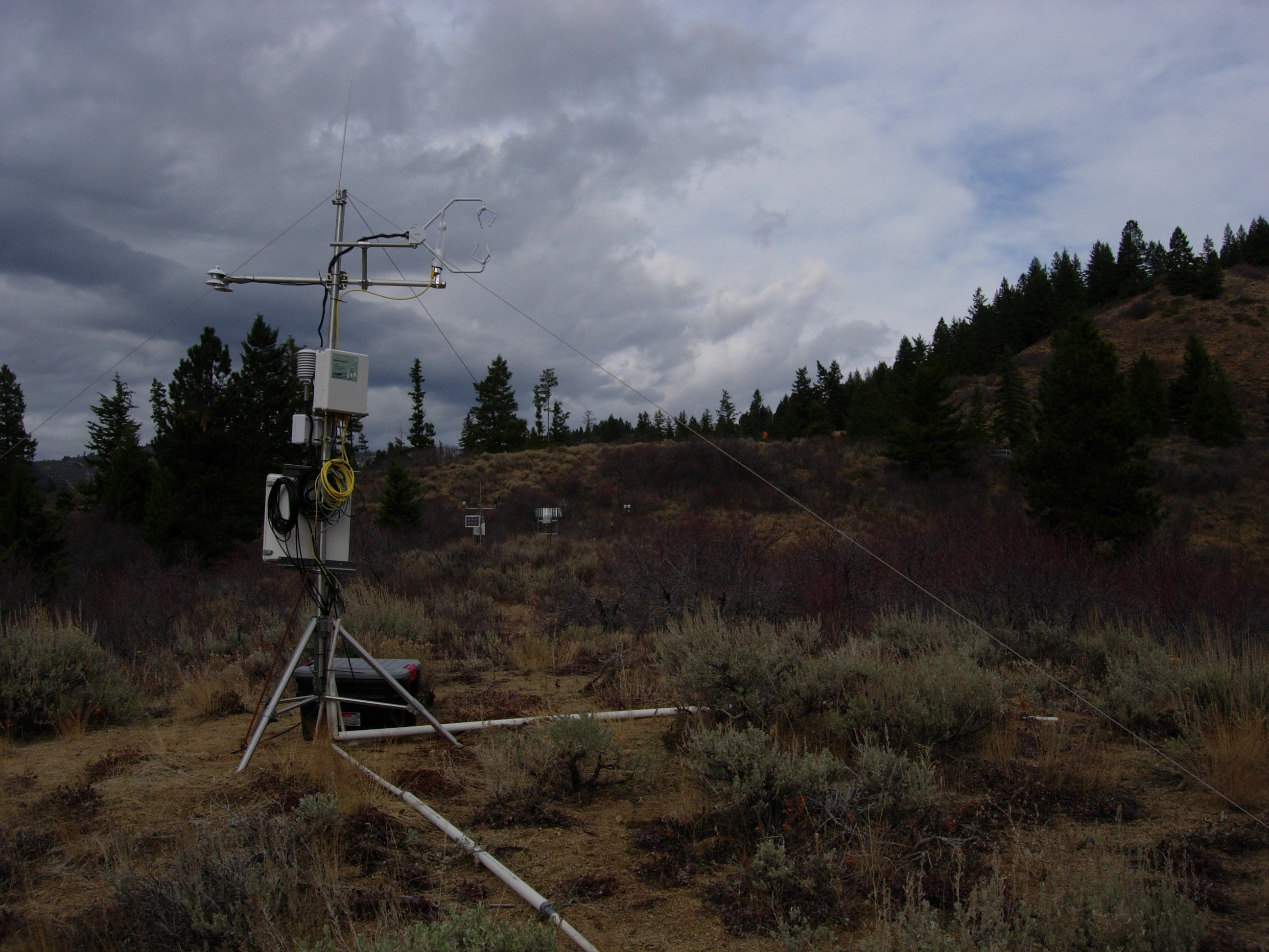
Site Notes: SCR is located on a central topographically low ridge spur within the Shingle Creek headwater catchment . This headwater catchment is overall west-facing, originating on the eastern edge of Dry Creek Watershed as a perennial spring fed tributary to Dry Creek. At 1720 m elevation, SCR is located within the rain-snow transition zone for winter precipitation on the Boise Front.
Soil at the site is primarily sandy loam, with depth varying from 0-100 cm above fractured crystalline bedrock. Vegetation includes grass, low brush, tall shrub and sparse Ponderosa pine and Douglas fir.
This weather station was programmed and installed Fall 2010 with data collection starting September 26, 2010. Instrumentation measures the following variables: air temperature, relative humidity, snow depth, precipitation (shielded alter gage), wind speed and wind direction, soil temperature, and soil moisture. Soil sensor #1 is emplaced at 5 cm depth immediately down slope of the weather station. Additional soil sensors were installed Fall 2012 in combination with eddy-covariance flux tower installation.


