Station Status: Operational, Telemetry (inactive)
Note: Telemetry may fail during fire season/other.
Recent raw data is telemetered hourly.
Corrected data is available for download in the “Historical Data” tab.
General site description is available in the “Site Info” tab.
For questions or assistance with this data, please contact Dr. Chris Walser.
Bonus Ridge Data
SITE INFO
DCEW Site: Boise Ridge Weather (BRW)
Location (Lat/Long): 43.75876, -116.090404
Elevation: 2114 m
Reporting Since: November 2011
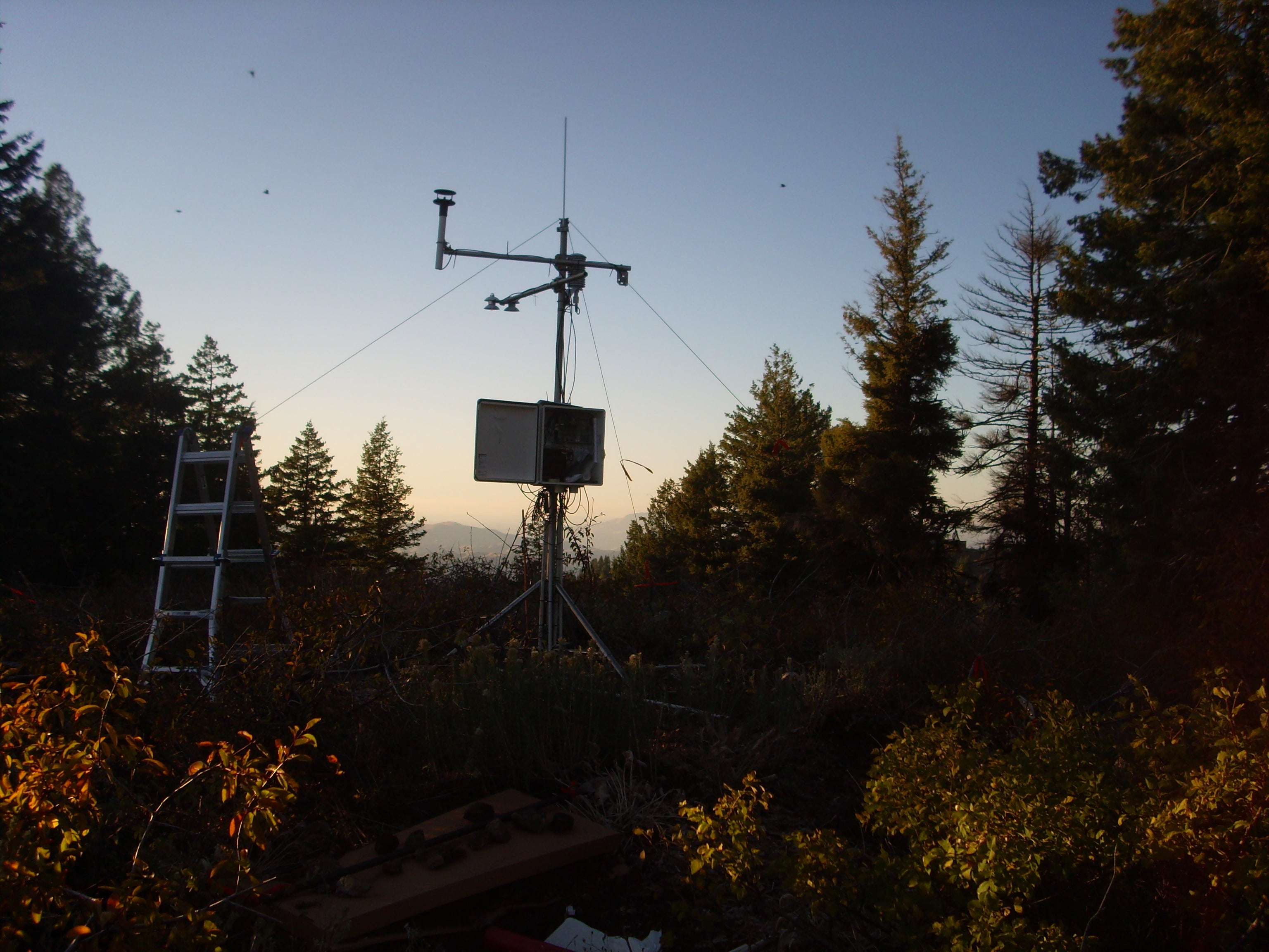
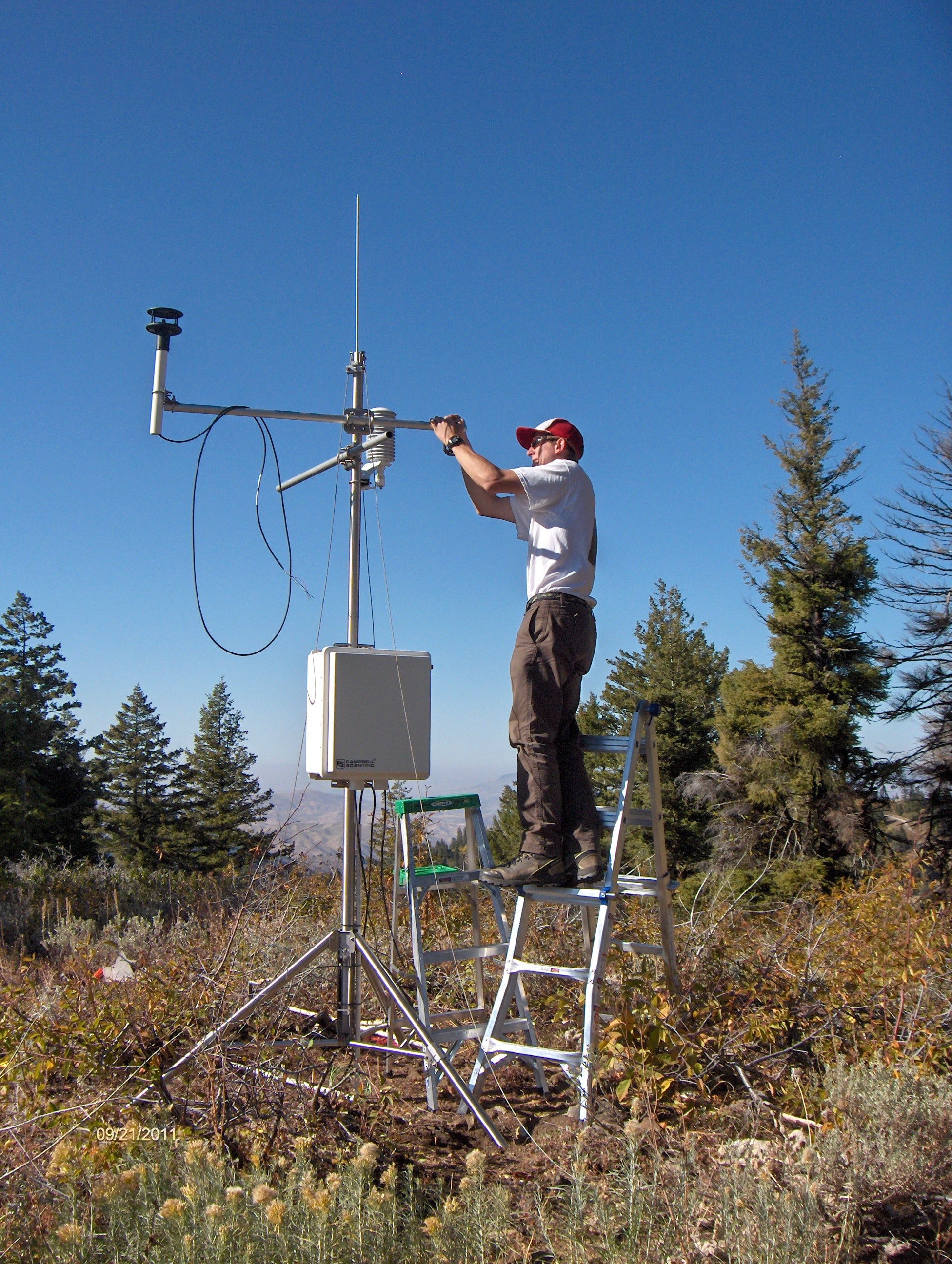
Site Notes: The site is within the boundaries of Bogus Basin Mountain Recreation Area and just outside the northern margin of Dry Creek Experimental Watershed (DCEW). It lies on a small knob to the east of Deer Point and receives relatively significant snow fall (more than 1.5 meters snow depth was observed in the 2011 water year).
The soil in the area is a sandy loam with gravel and an average observed depth of not more than 35 cm. Large fragments of fractured granodioritic basement rock litter the soil, forming the source of the gravel. Vegetation cover in the area is dominated by Douglas fir and Ponderosa pine with the station lying in a small forest clearing. Understory shrubs are dense in the area ranging from 0.5-1.0 meter in height.
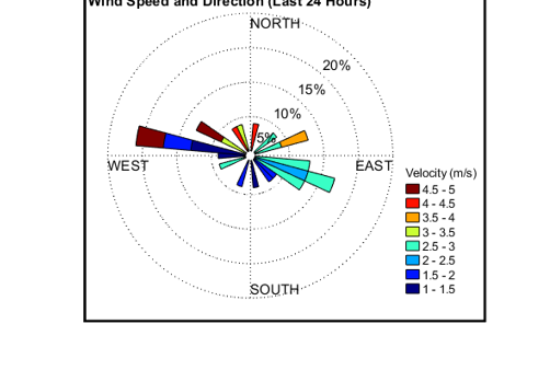
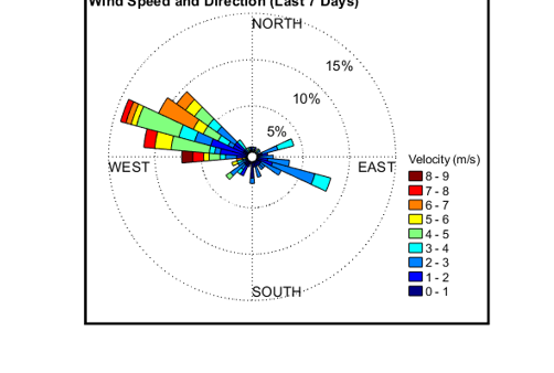
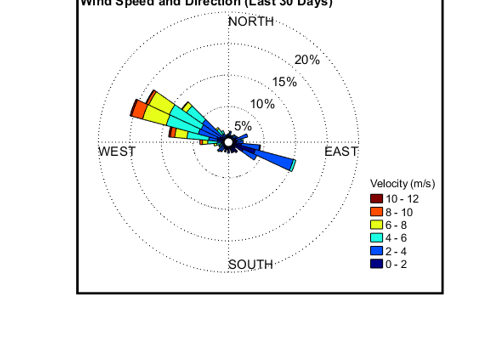
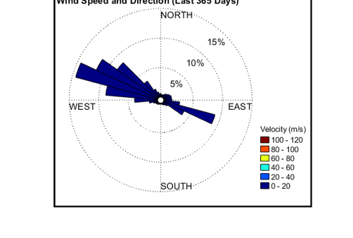
BRW station was programmed and installed in the Fall 2010 with data collection beginning on November 15, 2011. Instrumentation measures the following variables: air temperature, relative humidity, wind speed and direction, atmospheric pressure, short-wave and long-wave radiation (incoming and outgoing), ground surface temperature, snow depth, liquid precipitation, soil moisture, soil temperature, and soil heat flux. Soil moisture is recorded with four sensors in two pits. Pits one and two are located 4.5 meters southeast and 4.5 meters northwest of the main tower, respectively. Each pit measures water content and soil temperature at 5.0-20 cm depth. Soil heat flux is measured at four separate pits, approximately 2.5 meters from the tower in the cardinal directions. The heat flux plates are installed at 8 cm depth. Snow depth is recorded with two independent sensors, one of which was not operational until Summer 2012. Wind is measured with a two-dimensional sonic anemometer which is prone to occasional data gaps during extreme weather events due to riming on the sensor prongs. The station is powered with a 60 watt solar panel and transmits telemetric signal via radio waves.
The Boise State Cryosphere Geophysics and Remote Sensing (CryoGARS) group, headed up by H. P. Marshall, conducts ongoing field research nearby BRW station including snow pit characterization and non-destructive radar techniques to improve the estimation of physical snow properties.


